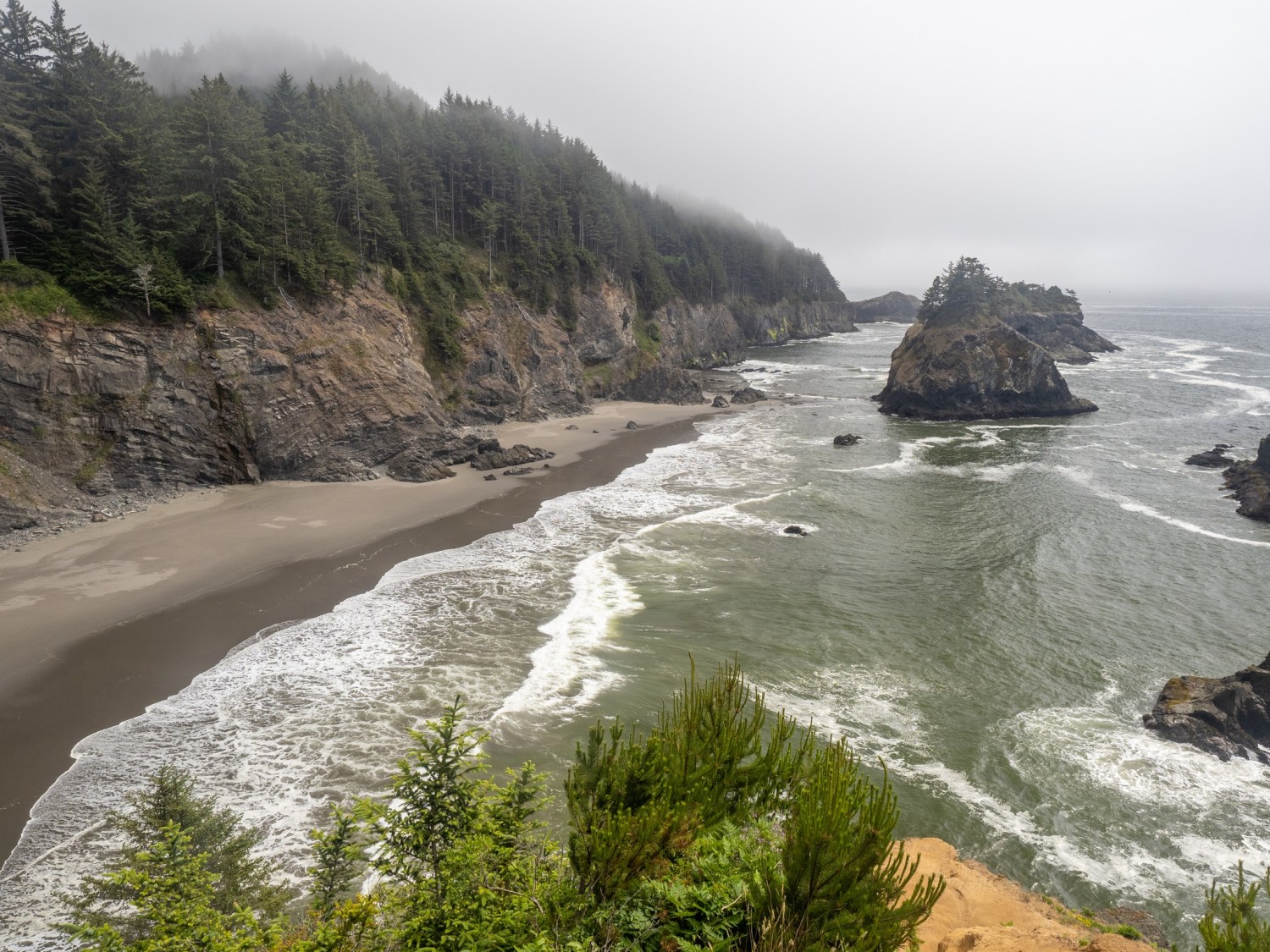
Tuesday (June 8): Yesterday was my last full day in this area. Here are a few last looks at this beautiful part of Oregon.
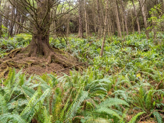
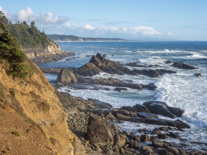
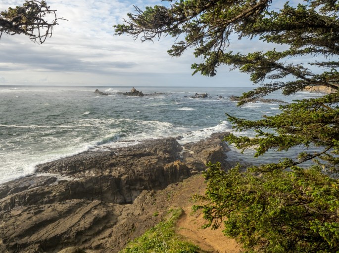
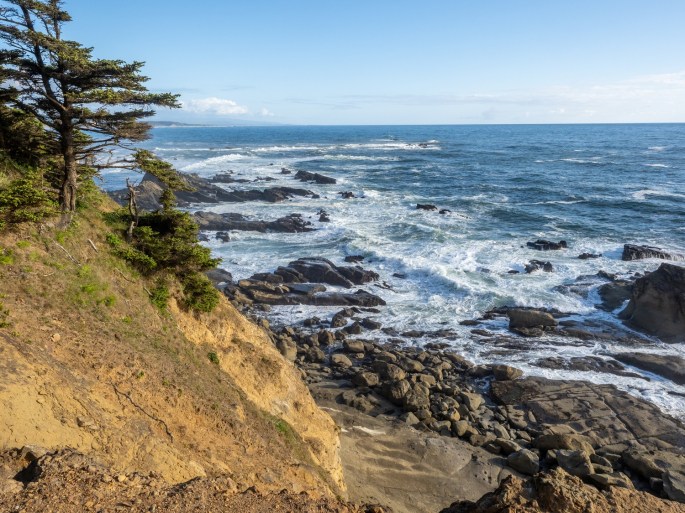
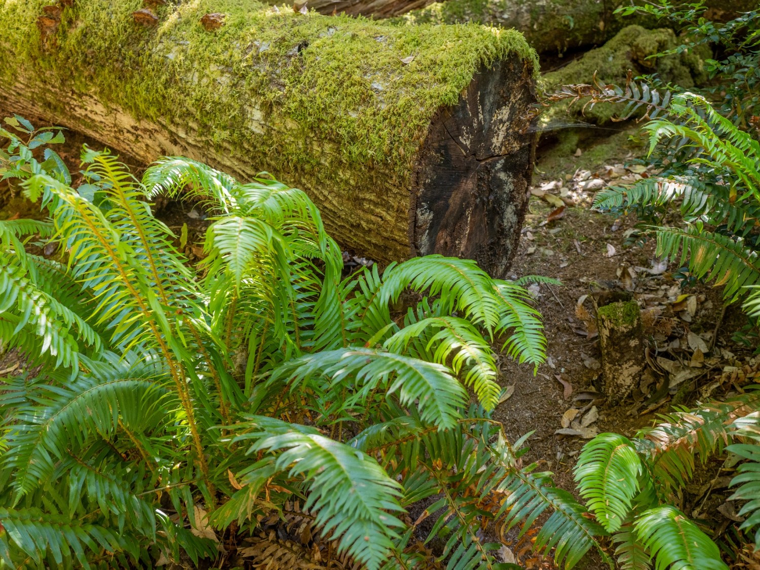
Ferns in woodsExposed rootsCape Arago coastlineSimpson Reef rocksCape Arago south viewCape Arago coastlineCatch a wave and you’re sitting on top of the worldCape Arago LighthouseCape Arago eveningCape Arago at DuskSunset Bay BeachSunset Bay SP WavesSunset Bay State Park DuskPhoto by Zack Schnepf
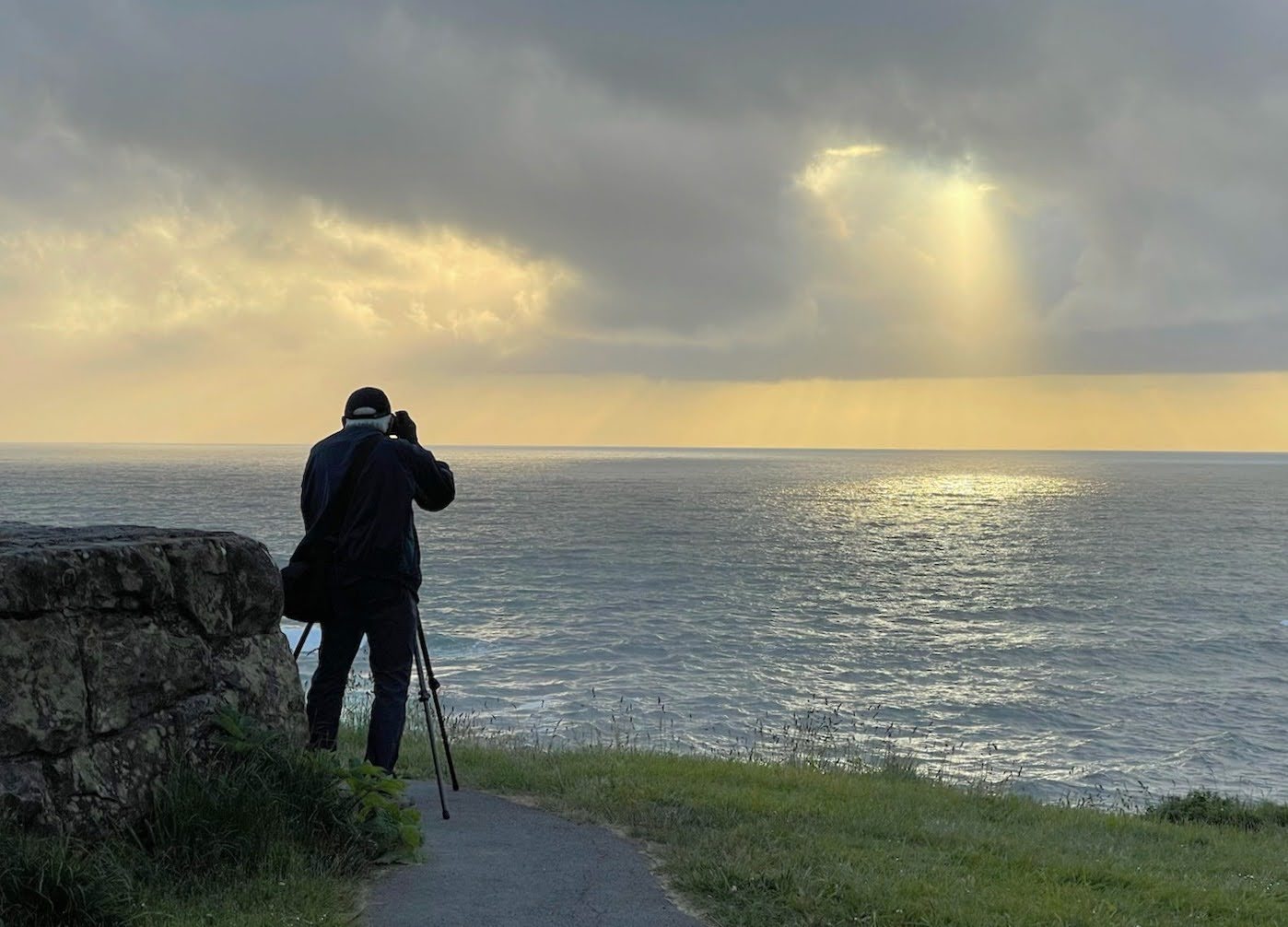
Zack took this shot of me while I was chasing the light.Simpson Reef Sunset
Today I’ll pack up and drive north about two hours to Newport. I’ll remember this visit for a long time and I have many photos to help keep those memories alive!
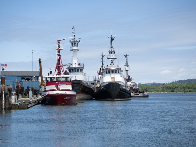
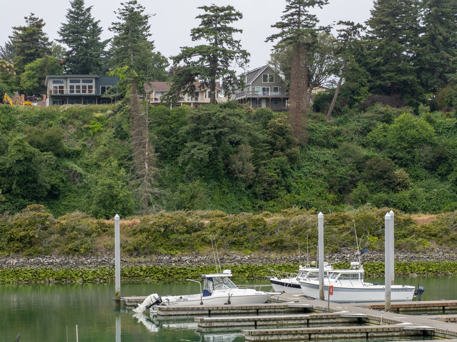
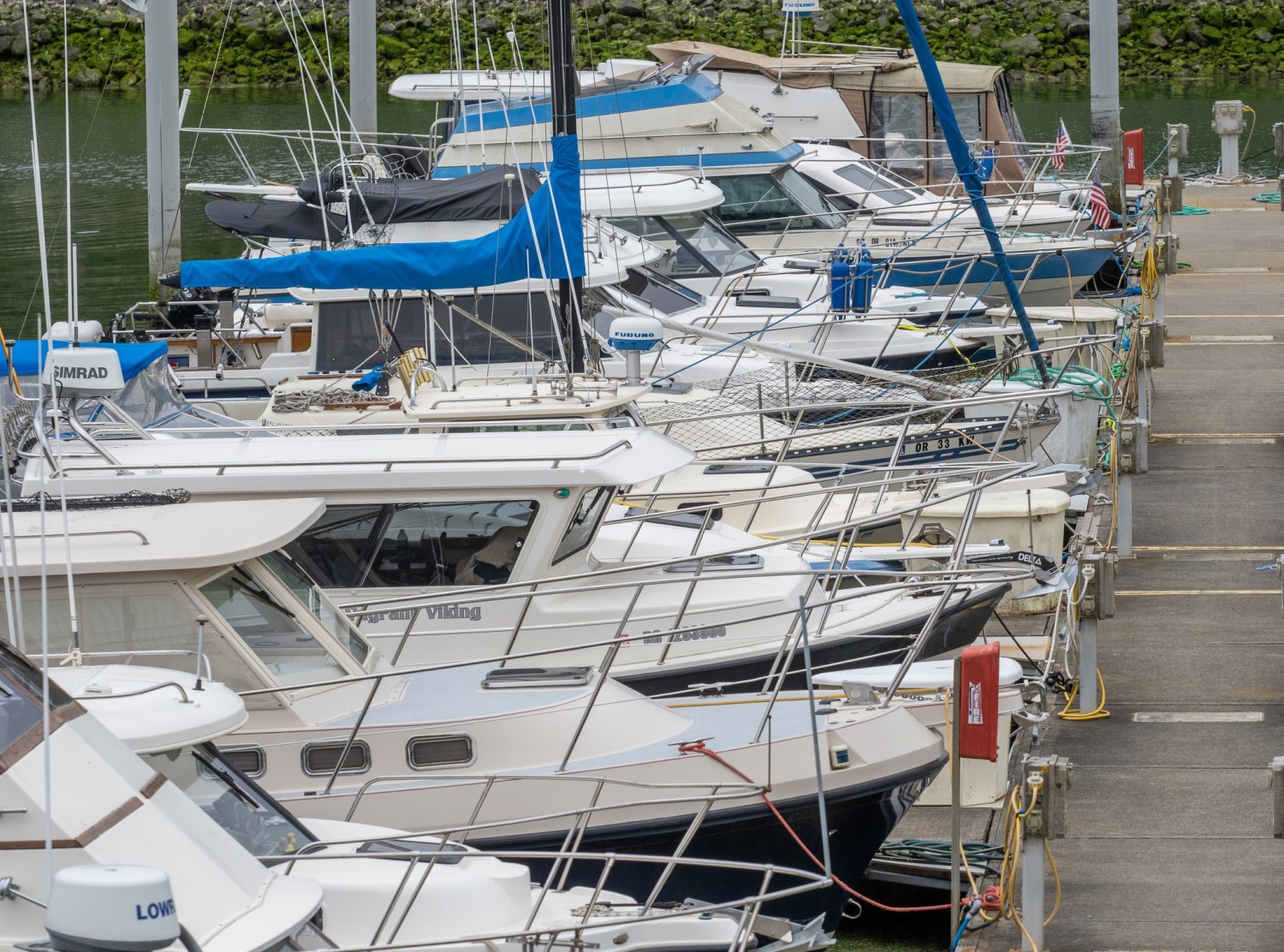
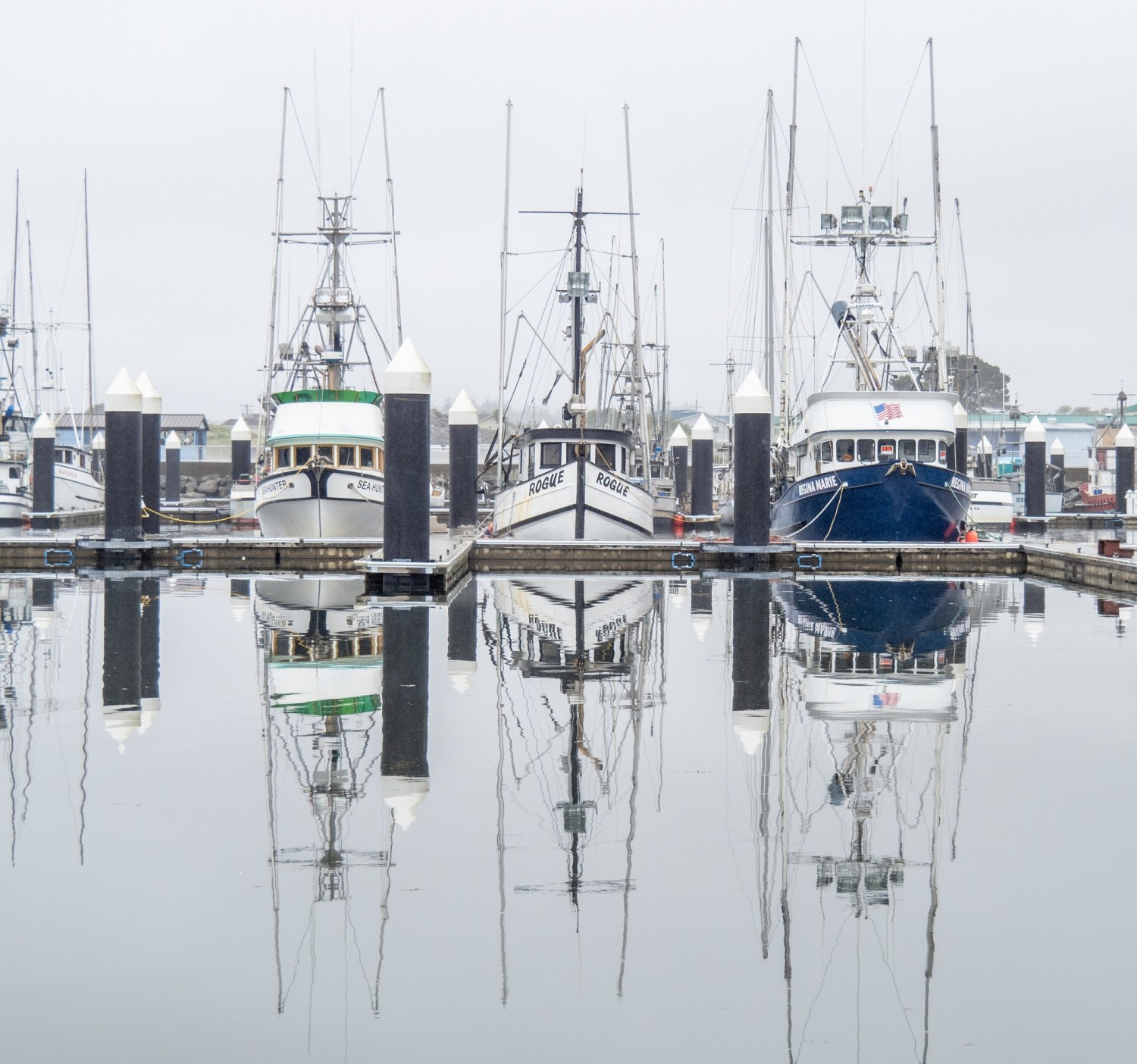
Sunday (June 6): Coos Bay is called “Oregon’s Bay Area.” I walked around town on a quiet Sunday afternoon and checked out the city by the bay.
Coos Bay has a newish short boardwalk on the waterfront, featuring a small harbor and historical displays. The downtown area is busy with Highway 101 as its main traffic corridor. It was hard to get a sense of the vibe since many places are closed on Sundays. It was clear that the city is interested in displaying culture and art.
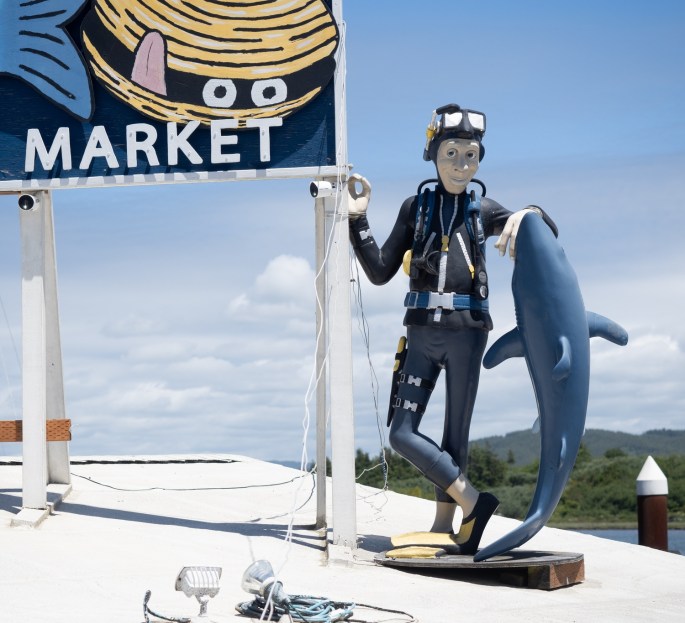
Coos Bay WaterfrontCoos Bay HarborQuiet downtown street on a Sunday afternoonCaught a big one!Tsunami Humor
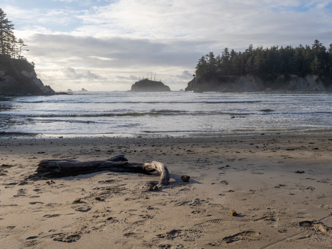
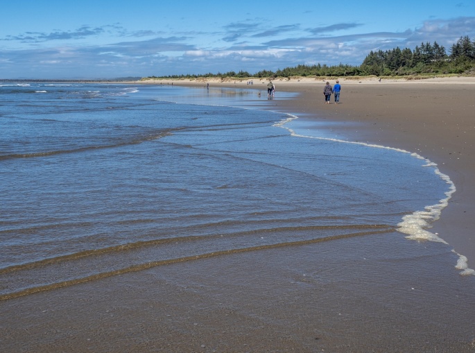
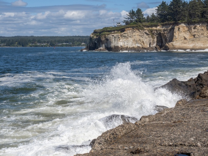
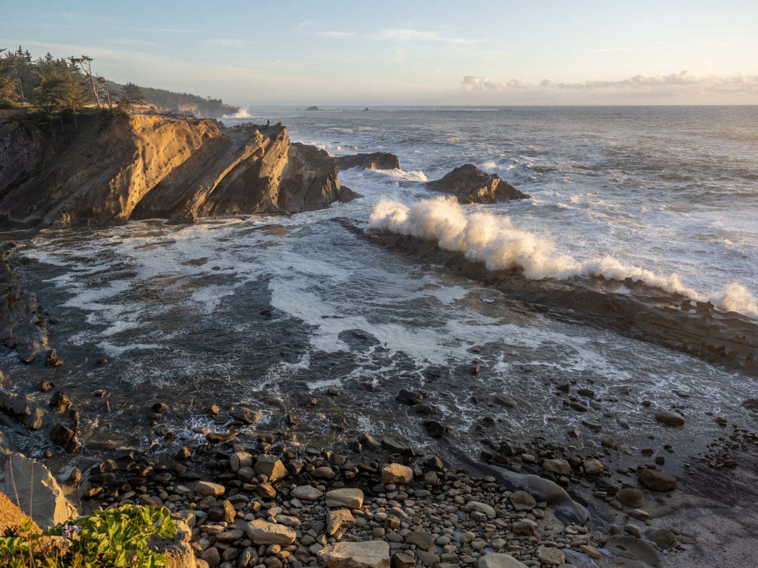
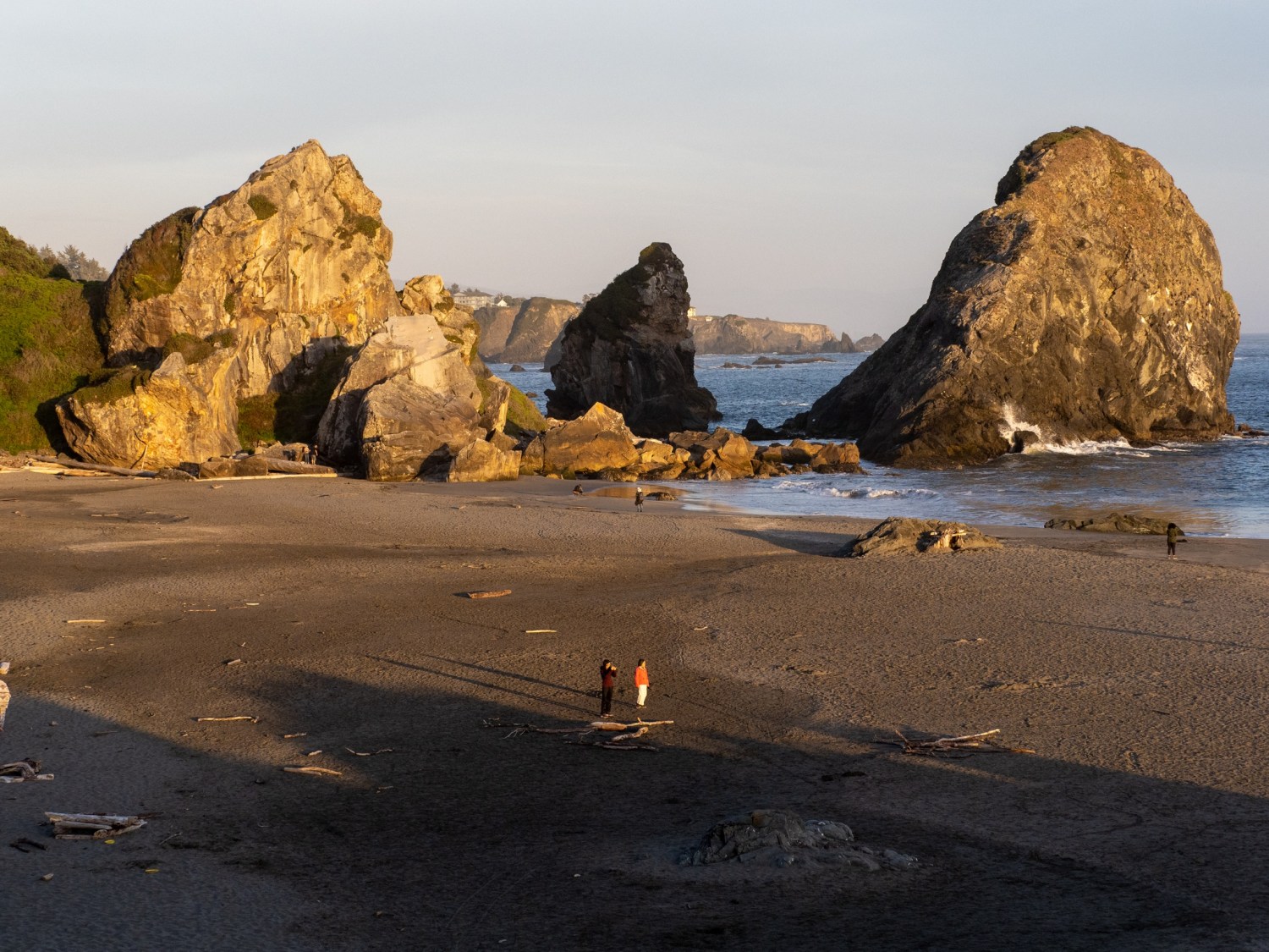
Back out near the state parks, I discovered a Bureau of Land Management park and beach area called Bastendorff Beach. A small campground is situated near the entrance road; continuing on the road leads down to the beach. It was windy and chilly, but the long beach beckoned me, so I ventured out for a walk.
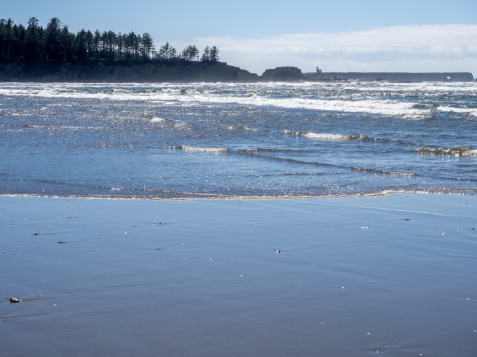
This is a popular beach, about a mile long with flat, reflective sand. A large rock seawall indicates the north boundary of the beach. It is dog-friendly with plenty of friendly dogs and owners. I was able to get in some “dog time” with occasional wet canine visits as I walked.
Long walk on the beach
As I strolled along the water’s edge, I was lost in time. The rhythmic sound of rolling waves has a way of quieting my mind and before I knew it I had reached the rock seawall. After climbing up a few large boulders, I was able to witness the activity of waves on the opposite side.
Coos Bay, looking over the seawallWave Action
The walk back was directly into the headwind, so it was a brisk walk. I picked up a few seashells (on the seashore) along the way as I returned to my car.
Bastendorff Beach – the Cape Arago lighthouse is in the distance
The weather forecast calls for clouds and a chance of rain in the evening, so it sounds like a perfect chance for sunset photos. We’ll see!
Saturday (June 5) After a delicious farewell breakfast with Claudia and Bruce (yumm!) I left Harris Beach SP around noon and turned north on HWY101. I had about 110 miles of travel ahead of me and I planned to make a few scenic stops along the way.
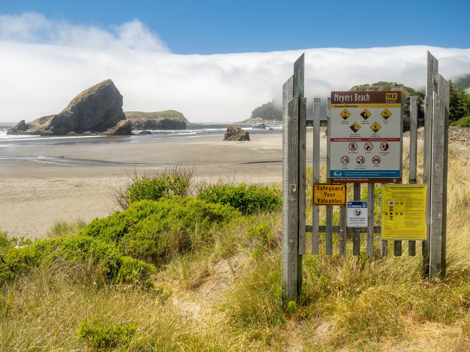
Highway 101 follows the coastline with occasional stunning views of the ocean. As I drove past Meyers Beach I was reminded of the sights and sounds of walking on that beach a few days earlier.
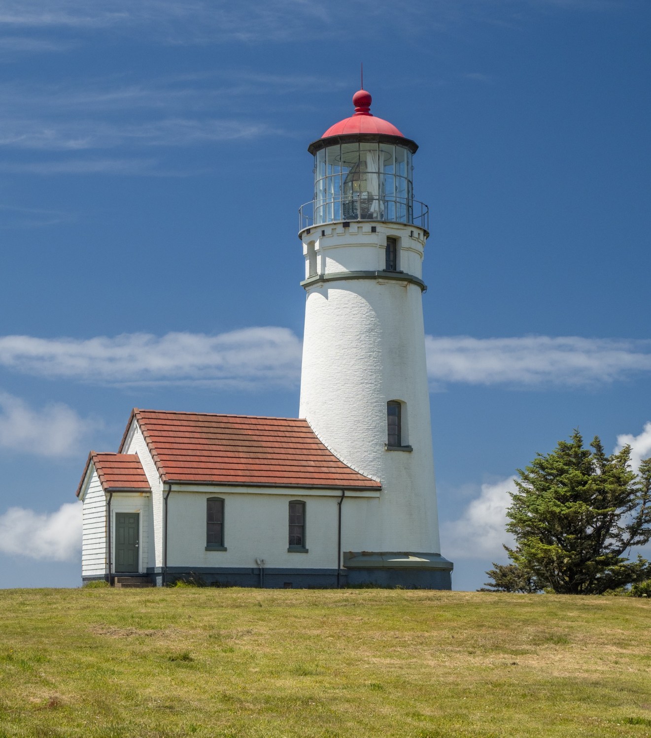
My first scenic stop was Cape Blanco State Park. Just 9 miles north of Fort Orford, Cape Blanco SP includes a campground in the trees on a bluff and a lighthouse. The road out to the park area is a typical country road with occasional repair spots and some gravel stretches. It was windy on the bluffs overlooking the ocean. The lighthouse is a short walk from the parking lot. Tours were not available on this day, but the exterior was easily accessible.
Back on the road, I continued to Bandon, where I planned to eat some lunch/dinner (linner?). Bandon has a cute “old town” area along the waterfront. I walked into the Fish & Chips Chowder House and ordered….fish & chips and chowder. (It was tasty, but Brookings’ Hungry Clam Cafe still holds the title of “best chowder” for me. I’m sure I’ll continue to verify that on this trip). The meal was substantial, so I packed up the uneaten half for later.
Bandon Waterfront and Harbor
I checked out Google maps satellite view to be sure I could drive out to the local lighthouse and be able to turn around with my trailer. The lighthouse is located on a point, past the Bullards Beach State Park campground. The beach area was active with beachcombers, kite-flyers and families. And yes, there was room to turn around with my trailer.
The Coquille River Lighthouse near Bandon
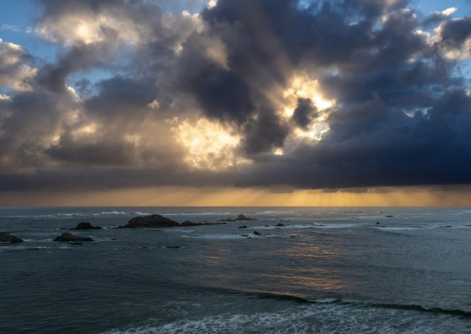
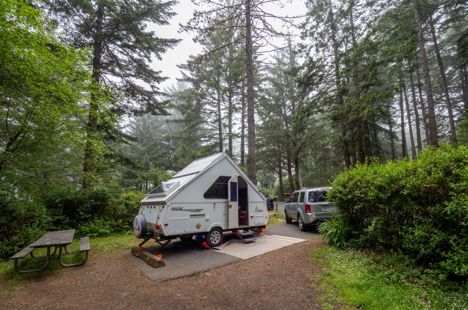
After some rock-hopping around the lighthouse, I continued to Sunset Bay SP near Coos Bay, Oregon and checked into my campsite. Sunset Bay SP campground is a little rustic, the restroom and shower facilities are dated yet functional. The campground is well appointed with trees and has great access to the coastline. My campsite is a bit funky with the firepit and picnic table situated on the same side as the hookups.
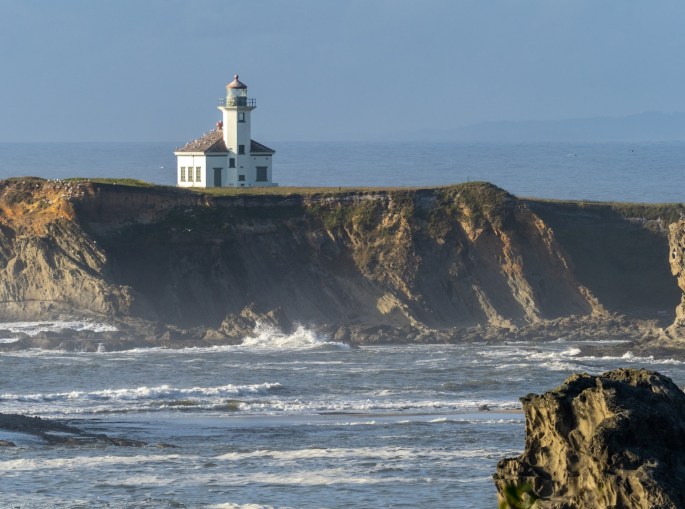
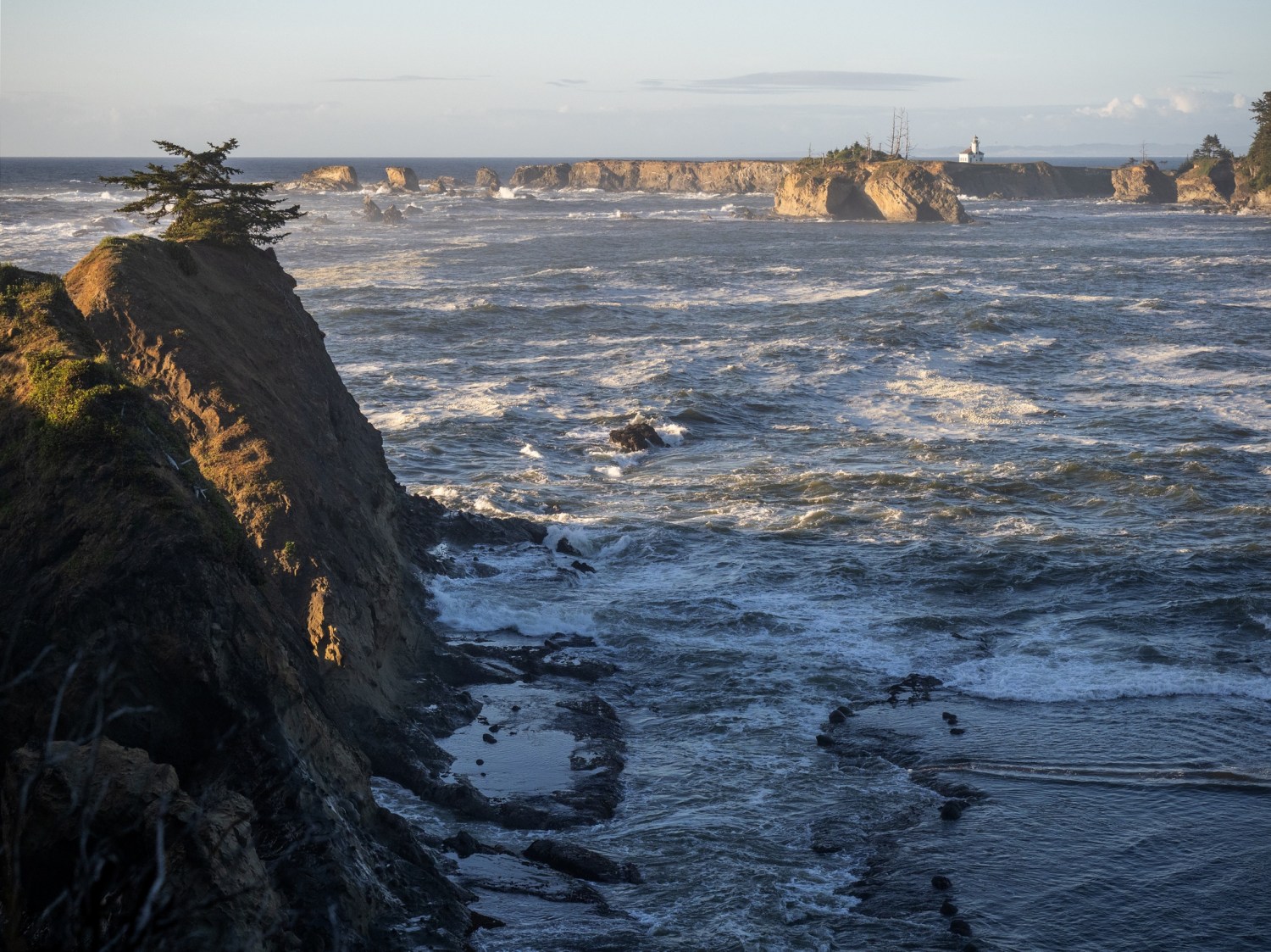
As sunset was approaching I drove over to the lighthouse lookout spot. This makes three lighthouses in one day. The lighthouse here is located in the distance on Gregory Point, so the best views of it are from a few shoreline viewpoints. With a long lens + 2x teleconverter, I was able to get a pretty good photo of the lighthouse.
Cape Arago Lighthouse
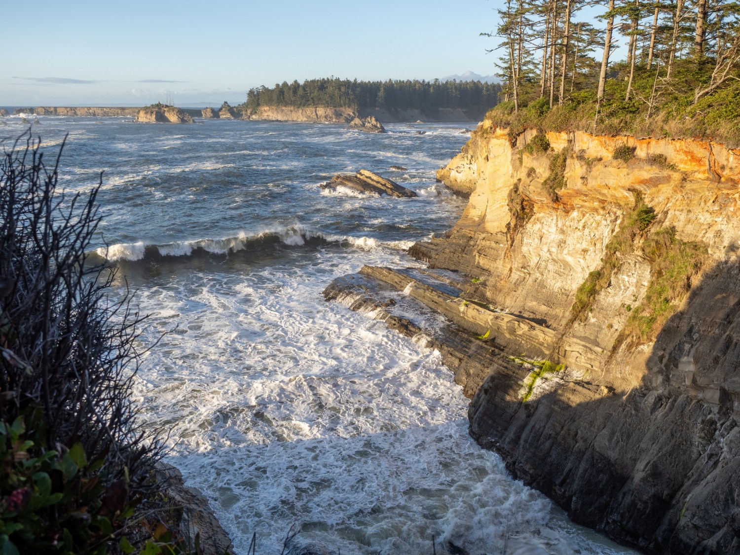
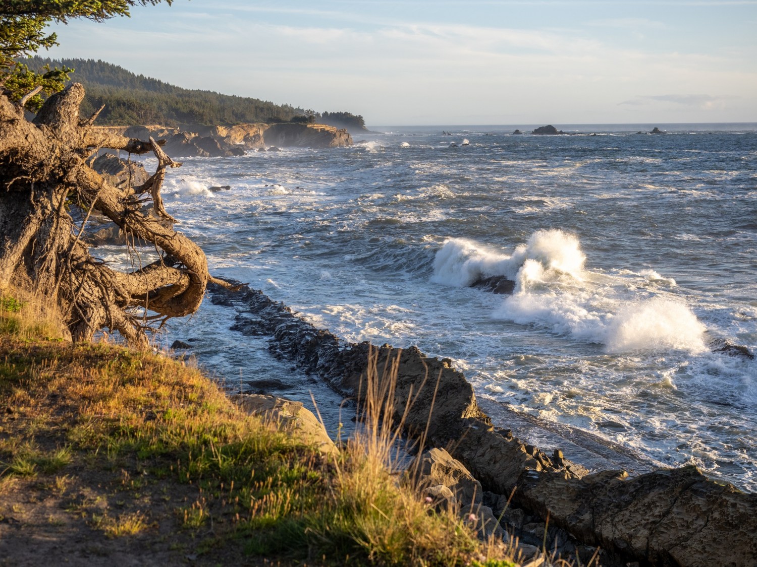
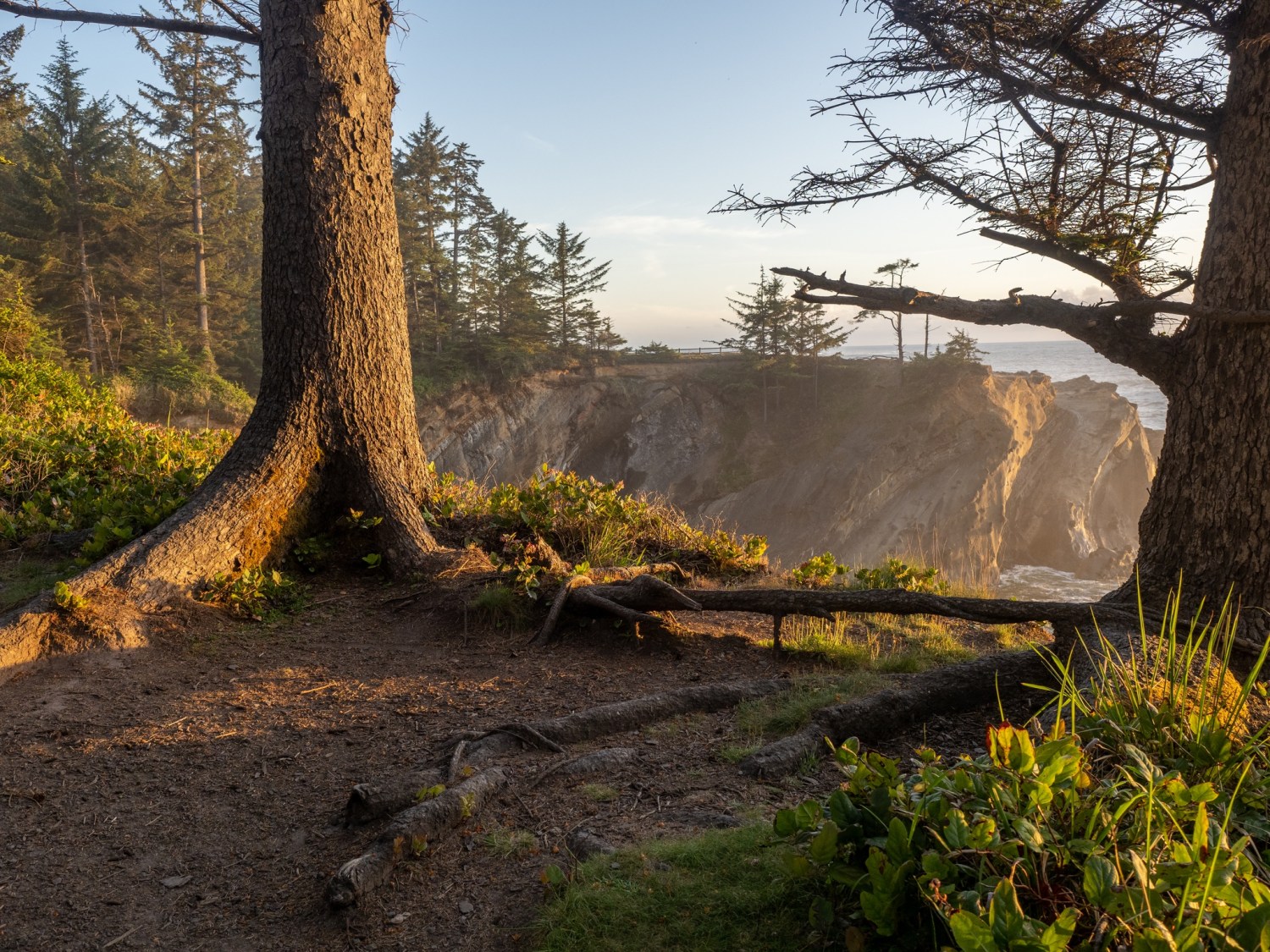
I followed a trail along the edge of bluff and learned that it would occasionally open up for another great view of the pounding surf. In many spots, I was startled by the sheer drop-off with no railing. That made the view even more exciting!
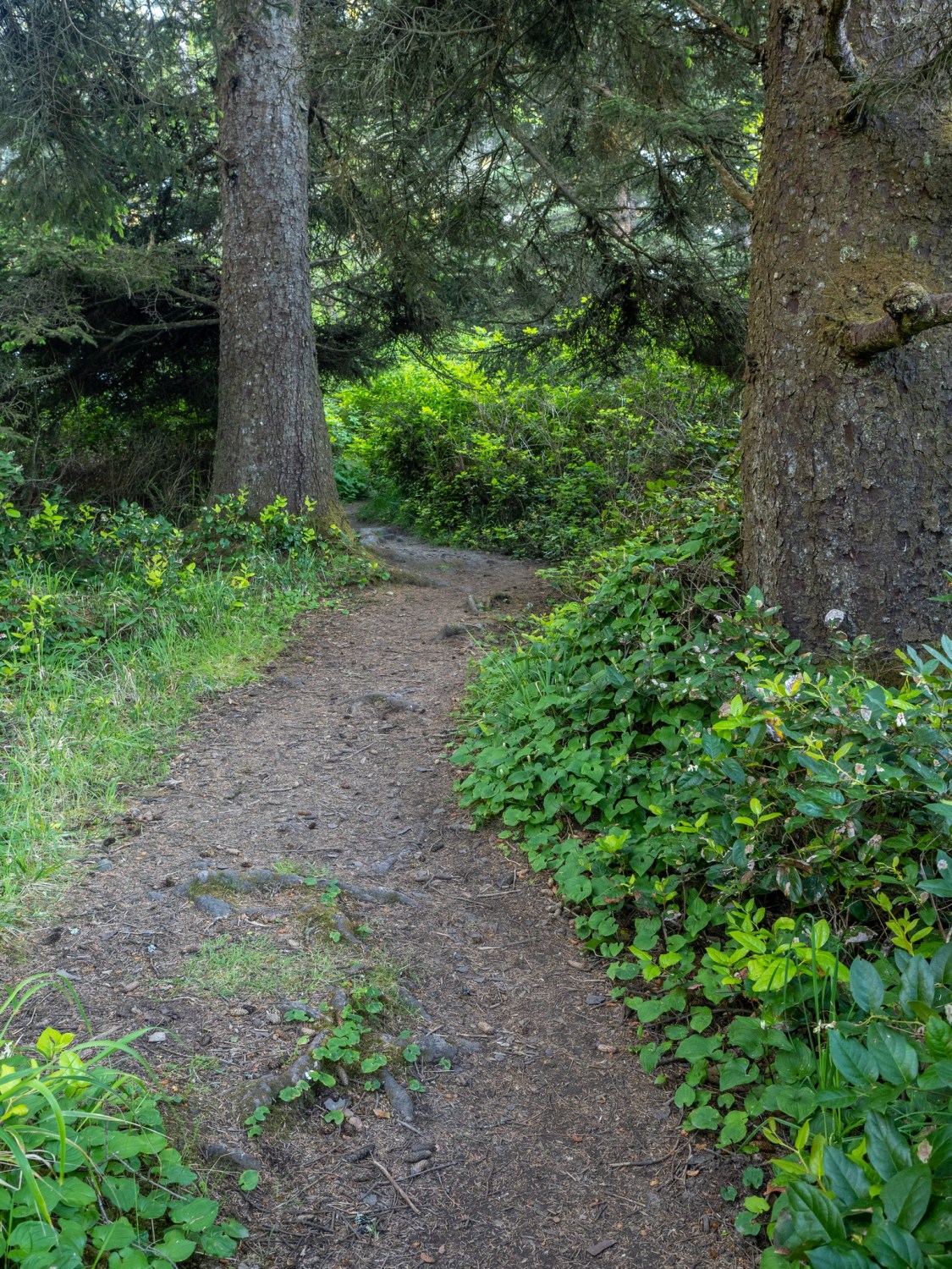
Inspired by the great lighting and views, I continued on. This turned into an accidental long hike, since the trail just kept going. Every opening revealed another stunning view of the late (and later) evening oceanfront.
At some point I began to wonder if the trail would loop around to the road or if I’d have to turn around and follow it back. I followed my intuition and continued forward until I found the main road, and eventually my car.
Note to self: check out a trail map before walking off into the woods!
I returned to the campground and happily settled into my trailer for the night
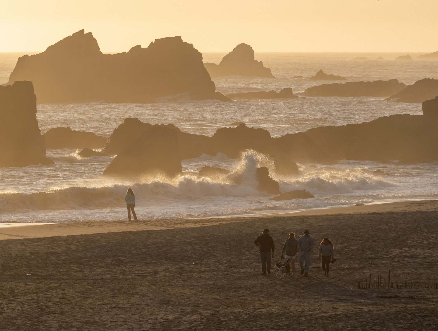
On my last night in Brookings, the sunset was promising to look very colorful. I grabbed my camera and tripod and walked toward the trail that leads to the top of the bluff overlooking the beach. (See previous post for more about this bluff)
As I had hoped, the view was clear and the sky was dramatic as the sun set into a distant fog bank.
A couple watches the wave action on Harris Beach.
At last, the grand sunset!
I enjoyed my five nights at the Harris Beach State Park in Brookings, Oregon. The campground was very comfortable and the time spent on the beaches in the area was rejuvenating. Today, I’ll travel to Coos Bay for the next leg of my journey.
Wednesday (June 3): Claudia, Bruce and I checked out a few interesting places in and around Brookings today. We started at the harbor at the entrance to the Chetco River.
We peeked into a chocolate shop and asked for a recommendation for a place for lunch. We learned the “Hungry Clam” nextdoor was a local favorite.
Before eating lunch we walked around Azalea Park, just across the bridge from the harbor.
Tai chi at the amphitheater at Azalea Park
The chapel at Azalea Park
We had lunch at the Hungry Clam and it was terrific. We then drove east along the Chetco River to check out Alfred Loeb State Park and campground. We took a short hike in the area.
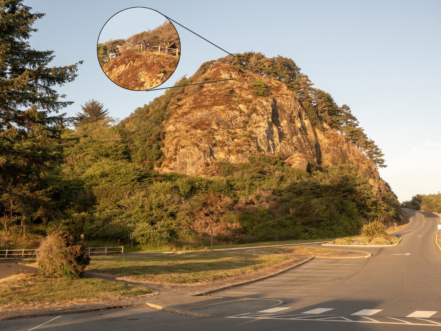
While we were down at the beach a couple of nights earlier, we noticed this large bluff behind the parking lot. At the top, we could barely see a few people at a viewing spot. We decided to check out that viewpoint.
The view from the top of the bluff was excellent!
I made a mental note to return to this spot for a chance to take photos of a sunset.
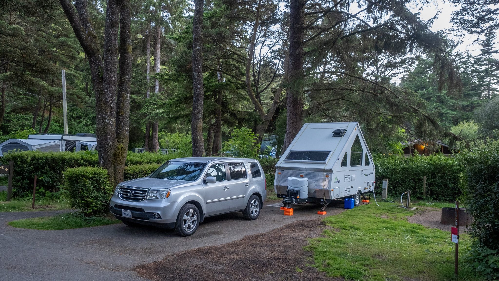
Harris Beach State Park campground is nestled in the trees alongside Highway 101
Monday was Memorial Day and a travel day for me. I left Redwood Meadows RV park and headed for Brookings, Oregon. It was a short drive of about 30 miles. I’m staying at Harris Beach State Park campground, just north of Brookings. I’ll be here five nights.
Harris Beach
Oregon State Park campgrounds are excellent resources! The campgrounds are beautiful with great amenities (restrooms and token-less hot showers!). Claudia and Bruce are staying here during the same time, so we are having fun exploring the area.
Approaching sunset on Harris Beach
Harris Beach is a great introduction to the Oregon coastline. A nice flat beach with many dramatic rock outcroppings, framed with frequent foggy edges. On the first night here, the sunset was colorful and ever-changing. Plenty of people gathered along the bluffs and on the beach to watch the display. It reminded me of the shared experience of watching a fireworks display.
On Wednesday (June 2), we drove north about 30 miles along the coastline to Gold Beach. Along the way we noted the various pullouts that we would explore on the return drive. It was pretty foggy on the drive, with occasional clear spots. It turned out to be the perfect weather combination for photographs!
Oregon bridges are an artform in their own right. Gold Beach.
One of the best locations was Meyers Beach, a long stretch of rock studded beachfront, with three different turnouts for cars to park. We walked the length of the beach and were treated to billowing fog, gentle waves, blue skies and great reflections. A long walk on the beach does a body good!
One of the paths down to Meyers Beach.The water was cold and refreshing!
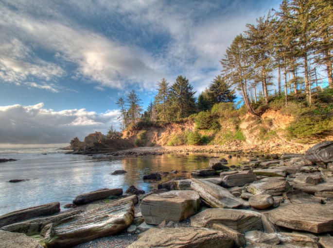
Another great photo opportunity was Arch Rock Viewpoint. A short trail around the bluff provided wonderful views of the coastline and Arch Rock.
The trail around Arch Rock Viewpoint gave many great views.Arch Rock
It is difficult to cull down the photos to a reasonable number for sharing. As light and fog conditions continually change, new photo interpretations emerge. I am feeling the immersion of this landscape; it is refreshing, cleansing and uplifting.
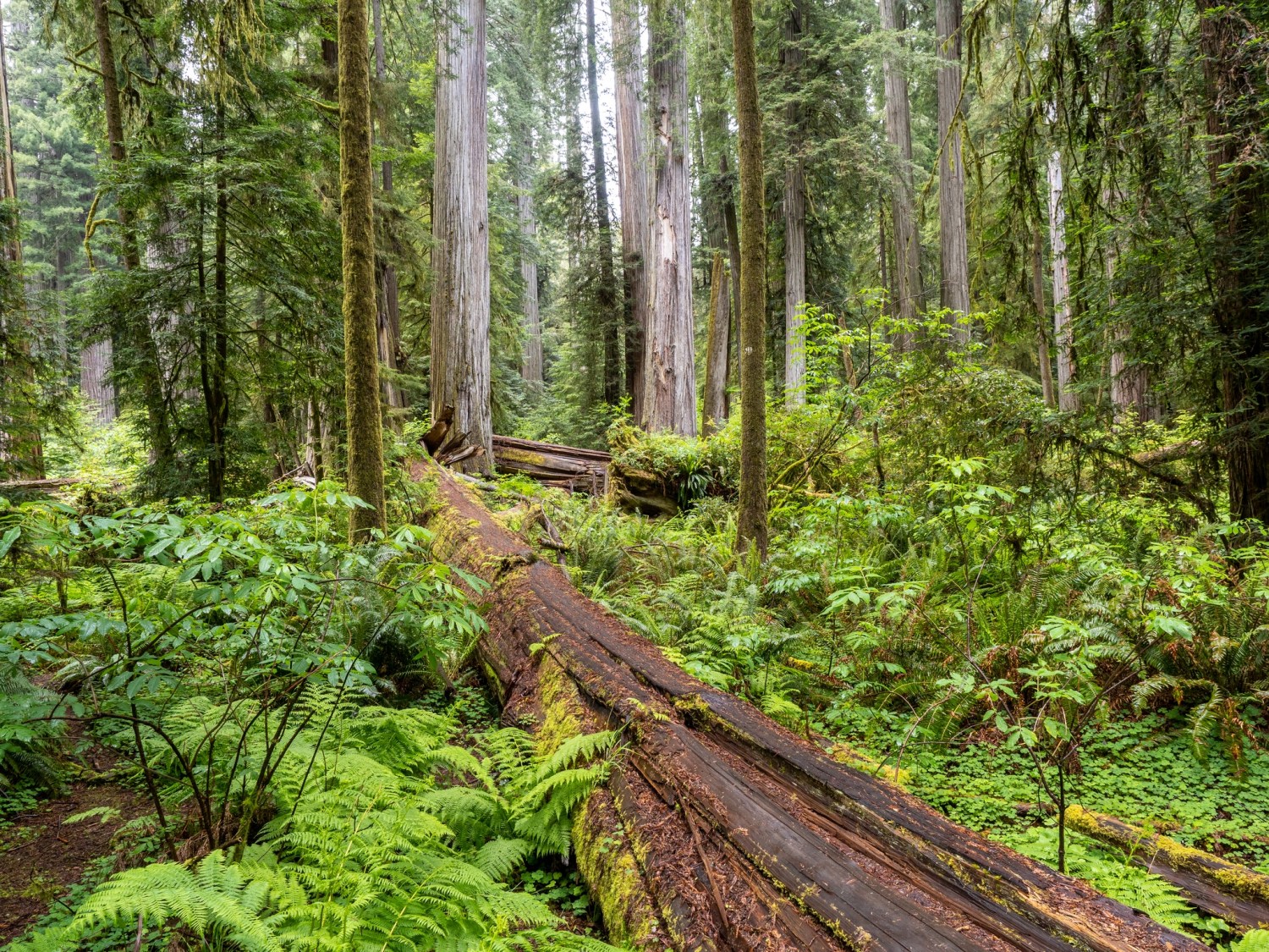
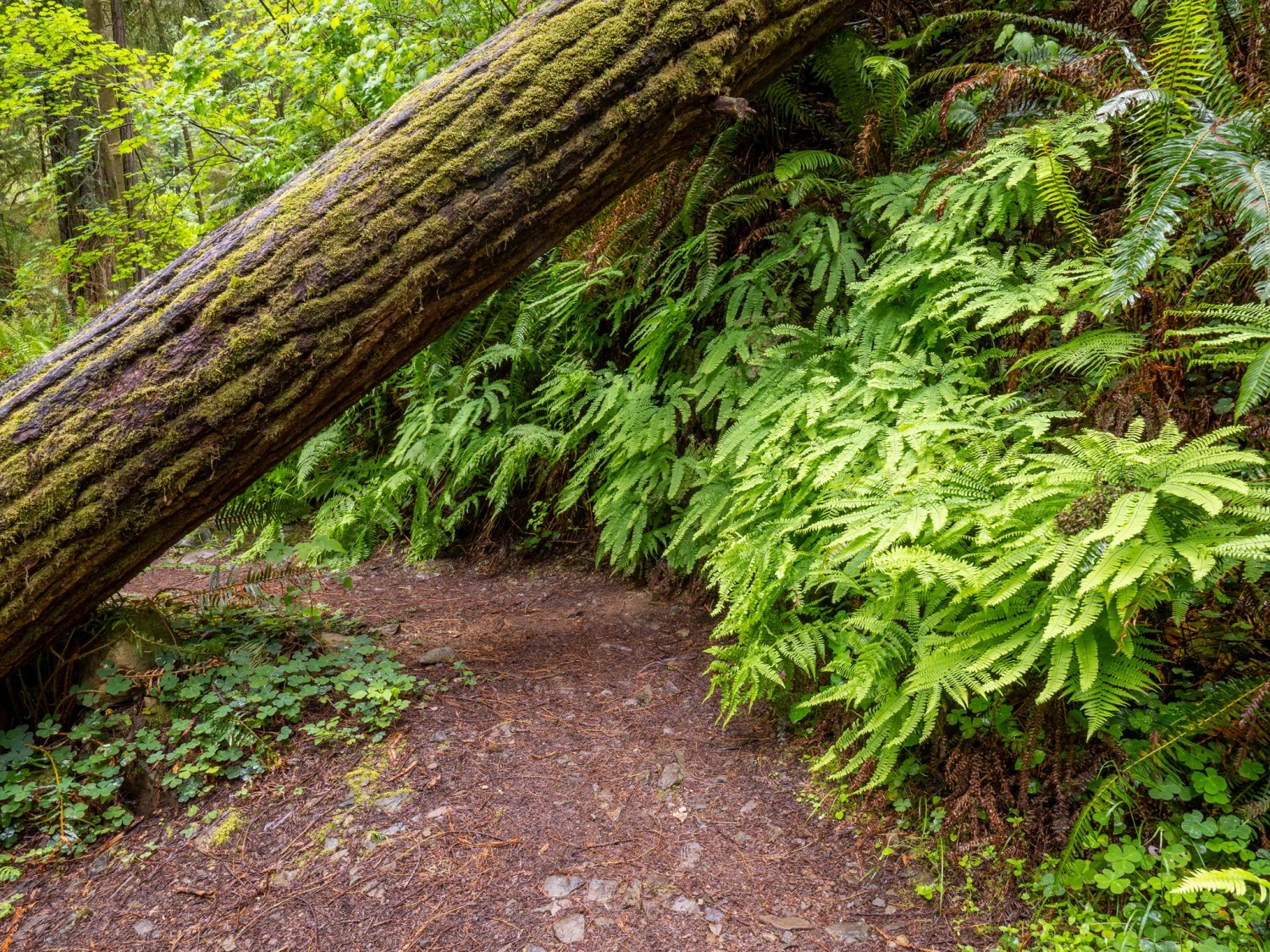
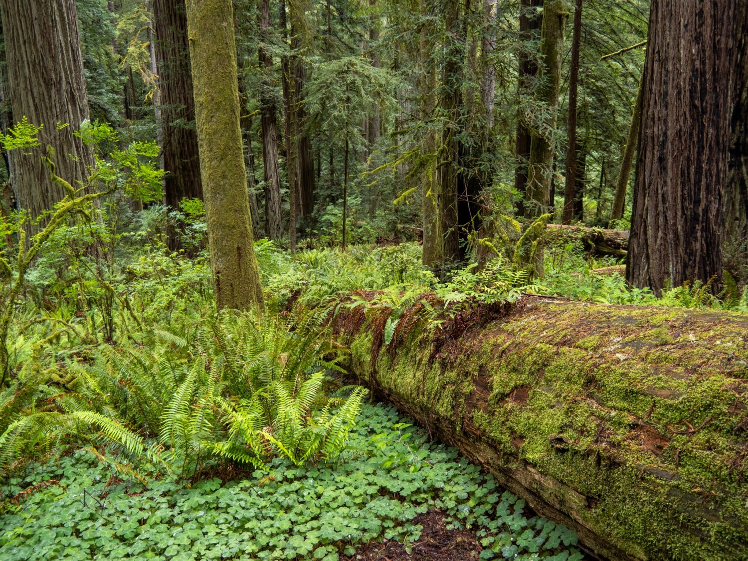
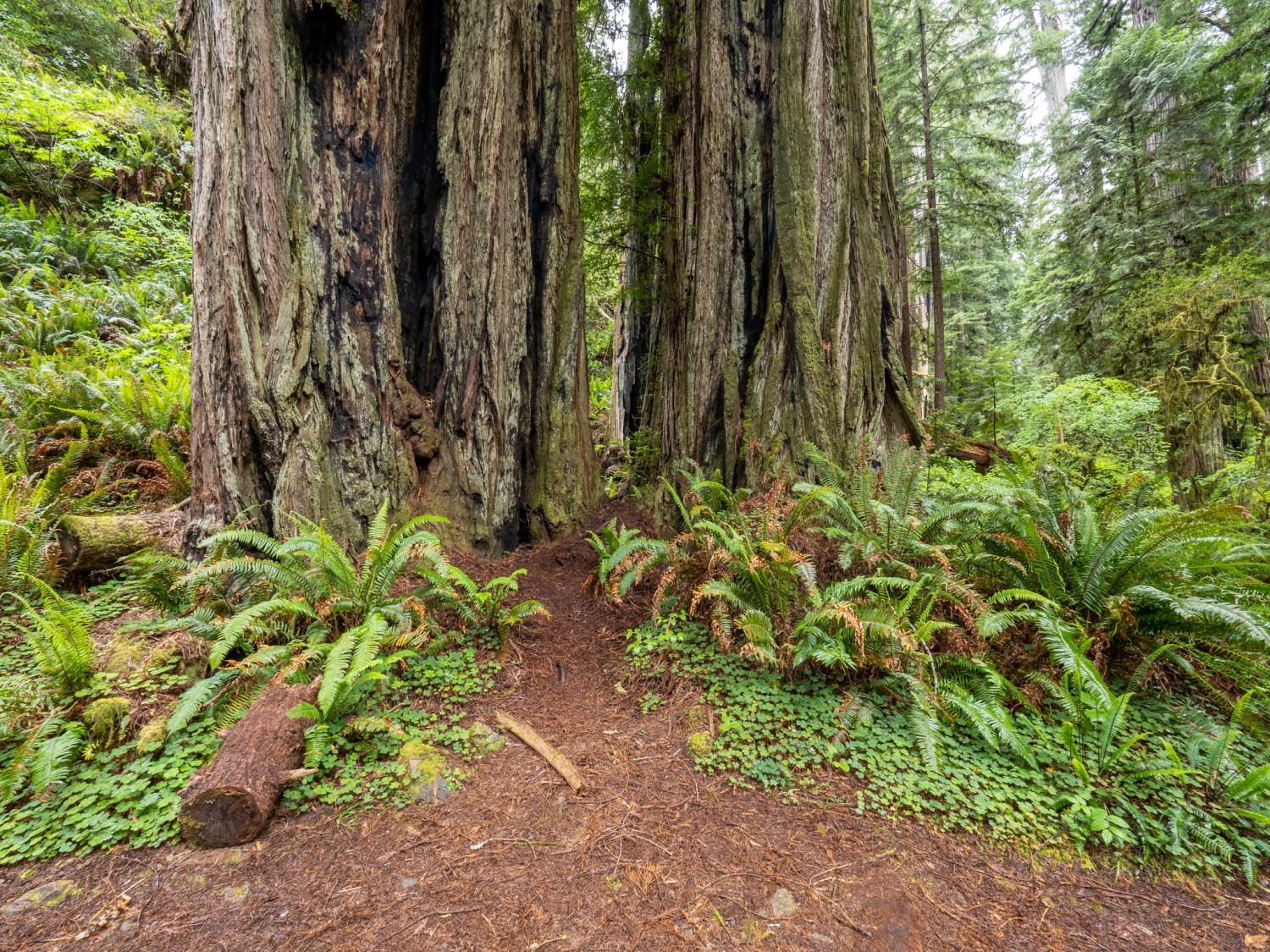
Here are some photos taken while visiting the Crescent City Area. Many of the redwood forest photos were taken within a couple hundred feet from the main highway. Just a short distance can feel like another world.
The Crescent City lighthouse stands out in the mist.Reflections in the harborThe Jedediah Smith Redwood Park on a drizzly day.The fog and mist moved in quickly.Along a trail – I’m guessing there are some ashes beneath the sign.I think I might have to Photoshop some airplane wreckage in the background…This might be my newest favorite photo.
Casini Ranch Family Campground – Drone photos by Bruce PrichardThat’s my trailer at the bottom of this image.
November was a good month to camp near the Sonoma Coastline. The Casini Ranch Family Campground is just a few miles inland along the Russian River. The RV Park is well maintained with a variety of spaces. I chose a space along a wooded area, with the river a couple hundred yards behind me. Other spaces were available nearest the beach area. The weather was great for most of the week; the rain started about the same time we were packing up to leave on Friday.
Our first full day was Tuesday, November 10th. We drove over the nearby Korbel winery for some champagne tasting. Social distancing was in full effect during the tasting session. The champagne was good, however, in the gift shop I purchased a small bottle of Korbel brandy.