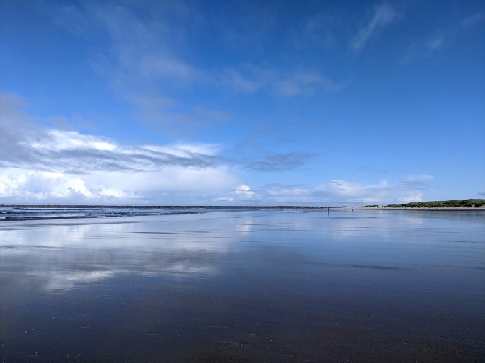
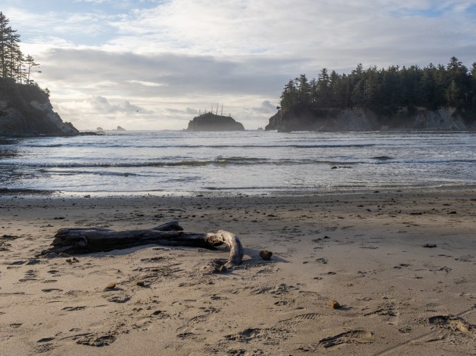
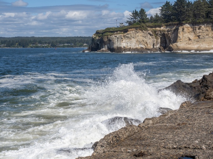
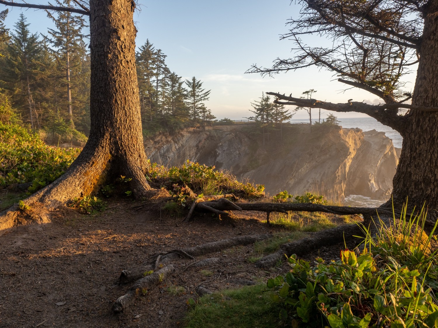
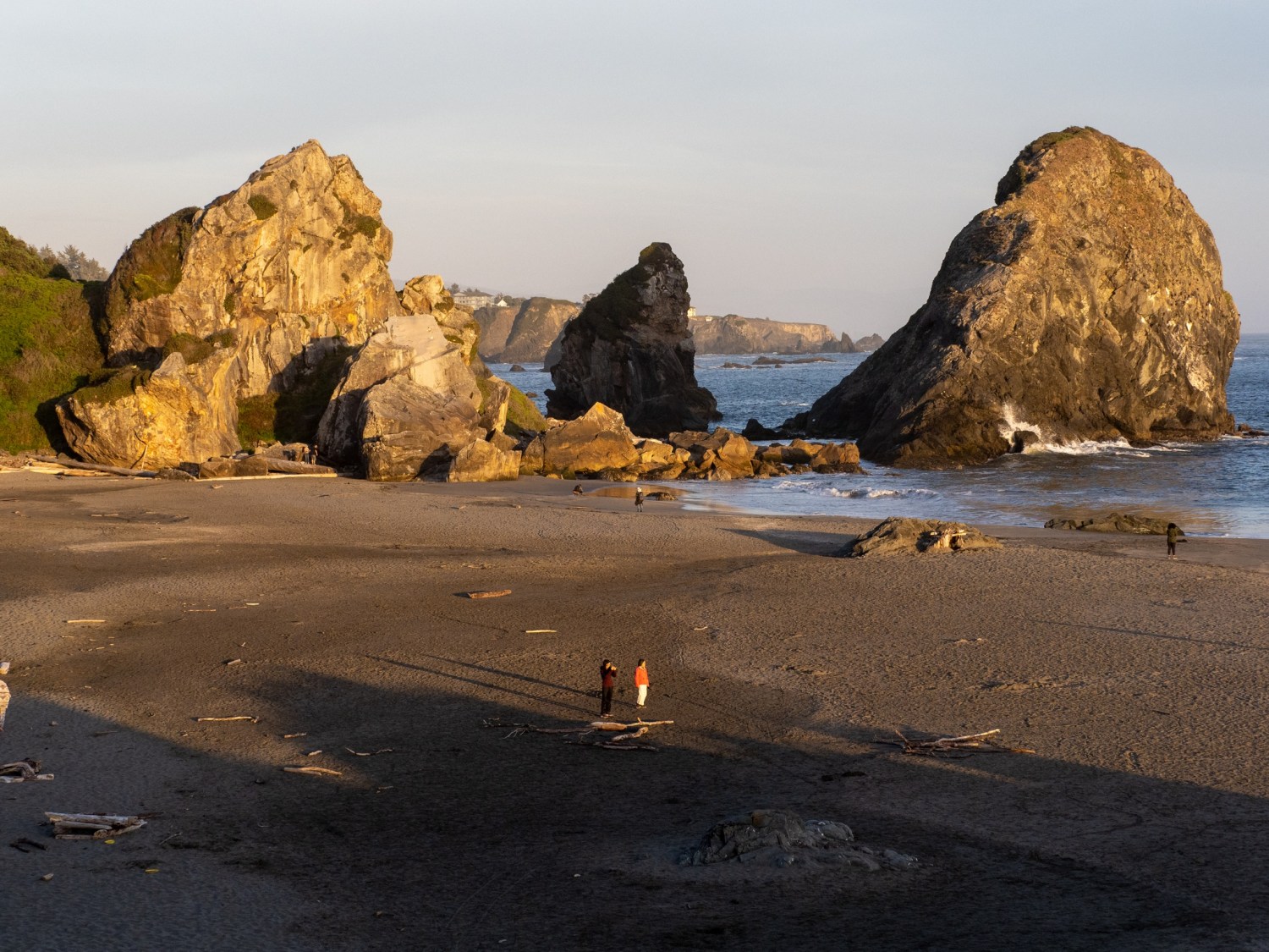
Wednesday (June 9): I slept solid after all the excitement on Tuesday. The bright sun and blue sky tempted me, so I dressed quickly and walked 1/4 mile to South Beach. The crisp air was refreshing and I walked barefoot in the shallow surf. The water was stunningly cold but after awhile my feet were so numb I didn’t notice. A few others were also out on the beach on that morning. As I walked along, I began searching for sand dollars that washed up on the shore. Most of the ones I saw were partial pieces and any round ones had been chipped open by the seagulls.
A long walk on a beach requires a long beach.Looking for a wave
After about 45 minutes of intense searching, I had found 4 undamaged sand dollars. I was rich! I looked up and noticed how far I had walked. Actually, I had no idea how far I walked because I couldn’t see where I started. I wandered back and eventually located my starting point and walked back to my campsite. I made coffee and breakfast and started planning my day.
My beach bounty
A former coworker had contacted me a couple days earlier; he and his fiance were staying at a nearby Thousand Trails campground during the same time I would be in Newport. I reached out to him and arranged to stop by their campground for a visit. I met his fiance and another friend, took a walking tour of the campground and checked out the beach nearest to them. I wondered if I had kept walking that morning if I would have ended up at their beach. I estimated it to be about four miles away.
We agreed to meet for dinner on Friday afternoon and I left to run some errands. I needed to get a few supplies to finish my trailer cleanout from the previous day. When I returned to my campsite in the afternoon, I took an unplanned two-hour nap. I guess I was tired.
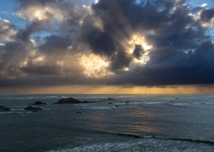
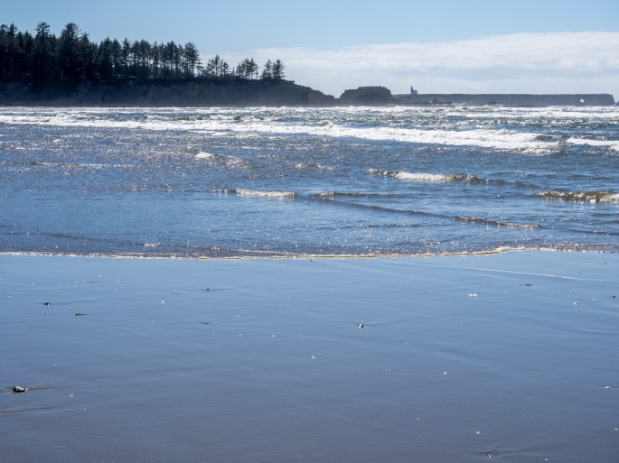
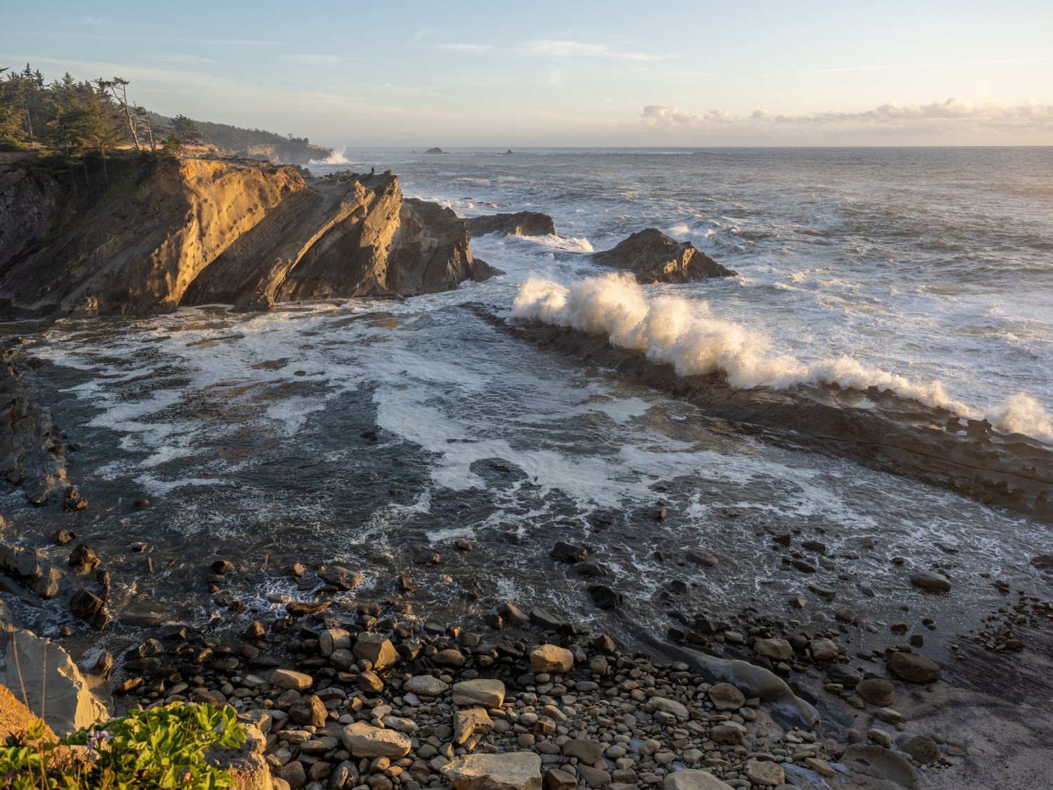
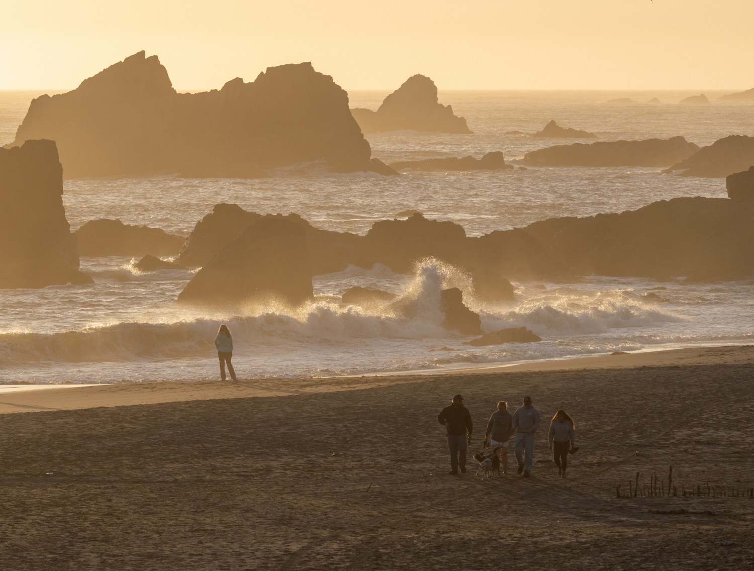
After an early dinner, I headed back to the beach for a sunset LWOTB. I found a few other shells and took photos of the sunset and beach objects I came across.
Sunset walk on the beachSunset walk on the beach
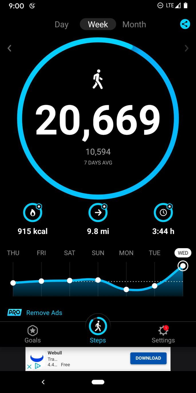
My Steps app let me know I had accomplished my steps goal for the day!
Monday (June 7): It was time to pack up and advance to my next destination: South Beach SP near Newport. I left Sunset Bay campground a little after noon; the drive was estimated at two hours, but with some planned stops I guessed it would be late afternoon before I finished the day,
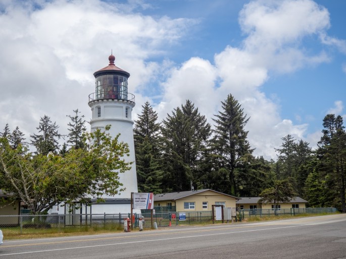
My first side trip was to check out the Umpqua Lighthouse, just a few miles off Highway 101 near Reedsport. The lighthouse was located among some older buildings and was surrounded by a fence. Signs in the area indicated that no tours were available. A nearby museum and gift shop were both open and a few visitors roamed the grounds.
Umpqua LighthouseMuseum at Umpqua Lighthouse
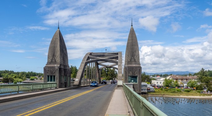
I didn’t spend much time in the area and noticed I was getting hungry for some lunch. I planned to stop in Florence for a meal so I continued north. I rolled in to Florence around 1:30 in the afternoon, found a large parking space near the waterfront and began exploring. The waterfront has several streets of stores, restaurants, art galleries and coffee shops. A few restaurants with water views were also open. Before eating I walked around the spectacular bridge that spans the Siuslaw River. It is one of the several bridges designed by Conde McCullough, a bridge engineer for the Oregon State Highway Department in the 1930’s.
The bridge over the Siuslaw River at Florence OregonWalking under the bridge on the Siuslaw River at Florence OregonWalking on the bridge over the Siuslaw River at Florence OregonFlorence Oregon’s waterfront on the Siuslaw River
I took the above photo of the waterfront from the middle span of the bridge. I don’t tolerate high locations with wide open spaces, so walking along the bridge’s narrow walkway next to speeding cars was a test of nerves. Thankfully, nobody got the impulse to lay on their horn while passing me.
That was enough excitement for one day, so I sat down at an outdoor table at the International C-Food restaurant overlooking the harbor. It was a pleasant day and the large restaurant building blocked most of the strong breeze. I ordered fish and chips and chowder for lunch (my third tasting of this combination for this trip.) I think this restaurant’s chowder was just as good as the Brookings Hungry Clam’s chowder. I still give a nod to the Hungry Clam for their more generous serving, though.
My view during lunch of the harbor in Florence
After finishing lunch I planned my next diversion. I knew the Haceda Head lighthouse was just a few miles north of Florence and I had read that some great views of the lighthouse were available at turnouts along the edge of the highway. I scoped out the area on Google satellite maps and strategized my attack: I would drive past the turnouts to identify the best ones and then turn around at the lighthouse parking lot and return on HWY 101 to the turnouts. As I drove near the area, I could see the incredible views of the coastline and lighthouse and picked out the best turnout.
I continued up to the parking lot to excitedly begin my return trip. However, I managed to end up in the part of the parking lot that had a sign posted (much too late to be useful) that there was no trailer turnaround. The parking lot was one driveway with right-angle parking spaces on each side and a dead end at the far end. Several cars and people were actively moving about and I knew this was going to be very interesting. Trying to remain calm, I scoped out a couple of open parking spaces on my left and an open one on the right and decided I was going to turn my trailer around in spite of that damn sign’s opinion. Immediately I noticed several cars waiting behind me, so the pressure was on.
After a couple of the back and forth maneuvers I got the hang of it and got the heck out of there in a hurry. That was enough excitement for one day, so I took a deep breath and aimed my car for the highway turnout. It was open when I arrived and the view was better than I could have imagined. The sky was clear blue with puffy white clouds, the water below was blue with terrific waves crashing on the beach, and the lighthouse stood out sharply against the rocky terrain. After the mundane view of the Umpqua Lighthouse, the Haceda Head Lighthouse overachieved. Not satisfied to show you just one photo, I’ve included four images from wide to up close.
The Haceda Head Lighthouse from afarThe Haceda Head LighthouseThe Haceda Head LighthouseThe Haceda Head Lighthouse up close
I was satisfied with all the effort it took to get to this point and capture these images. Now I had just one more u-turn to make to get back on the path to Newport. Rather than drive farther south to find a suitable place to turn around, I quickly flipped the u-turn right out of the turnout when traffic was clear and drove north again. I should have layed some rubber just for effect. I continued on leisurely and enjoyed the remainder of the drive.
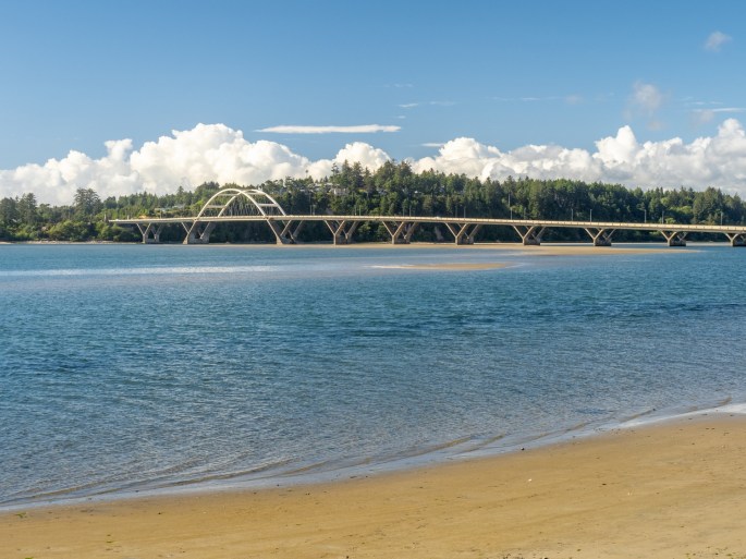
Another interesting bridge along the shorelineThe Alsea Bay bridge at Waldport.
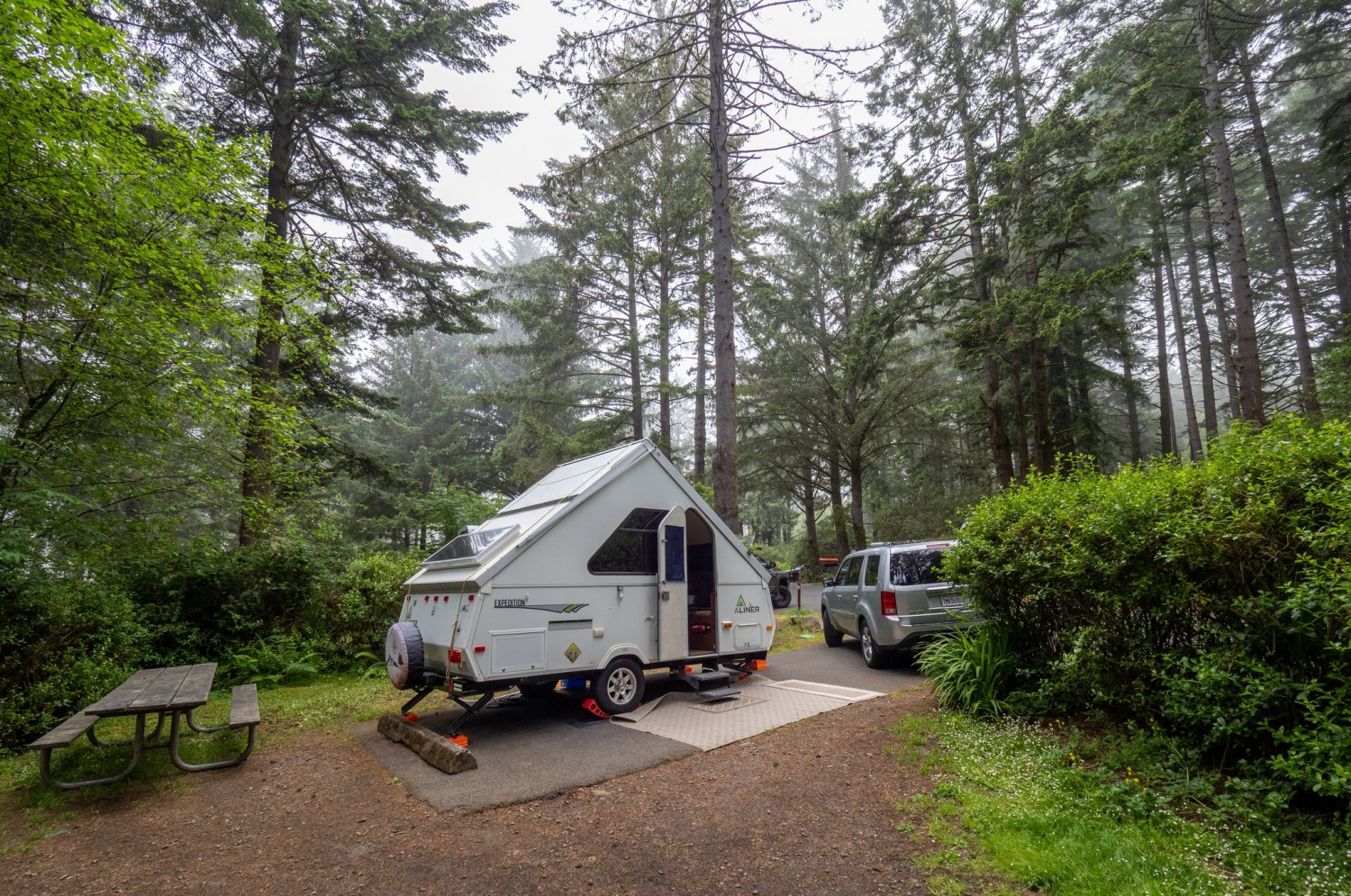
I reached South Beach State Park and parked in my campsite around 7:00pm. After the lengthy time in the car, I was ready to set up and wind down. However, when I opened up my trailer I was greeted at the door by a jar of salsa. Looking up I noticed the refrigerator door slightly ajar and several other food items strewn across the floor. Annoyed but not dismayed, I started to gather the items and then I noticed something awful. A large plastic jug was laying on it side on the floor near the rear of the trailer. This was the jug that had a block of ice in it to help keep the fridge cold during the drive. But the block of ice was very small and the puddle of water (previously know as ice) on the floor was very large. I knew water damage was serious and began quickly emptying out my trailer. I located the places where the water had reached inside some of the compartments and dried it up as much as possible. I opened all the affected hatches and emptied them to make room for ventilation. This was not how I wanted to set up for the evening!
All compartments were emptied and dried out.
I stashed most of the trailer items in the car and repaired the refrigerator door. I noticed a small threaded hinge pin had worked itself loose, allowing the door to sag and render the latch useless. I tightened that screw down super-tight, got the door back together and called it a night.
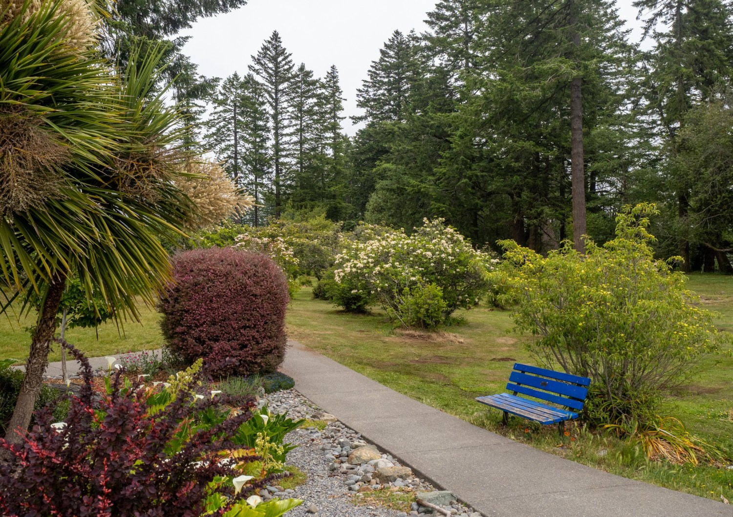
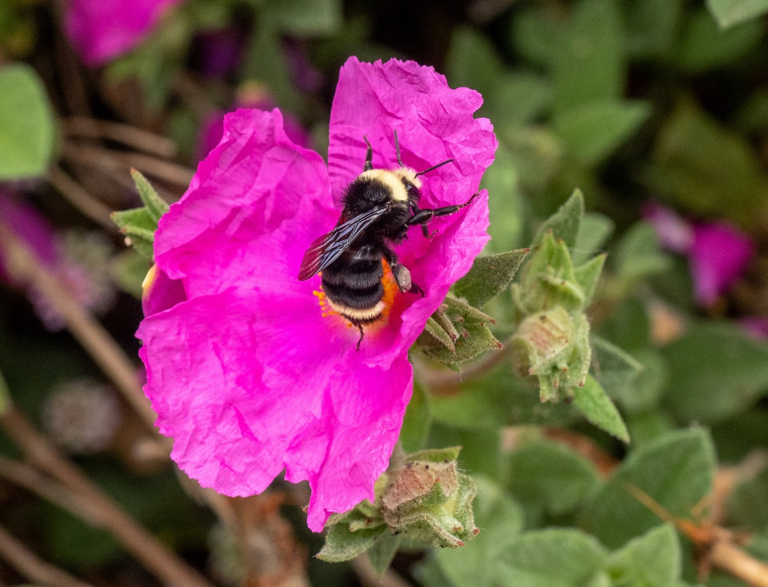
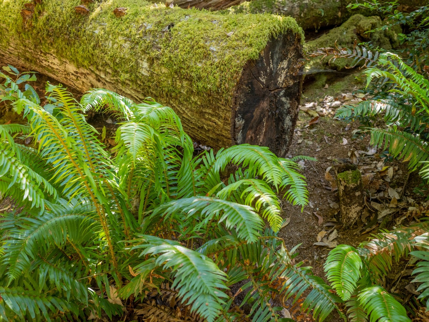
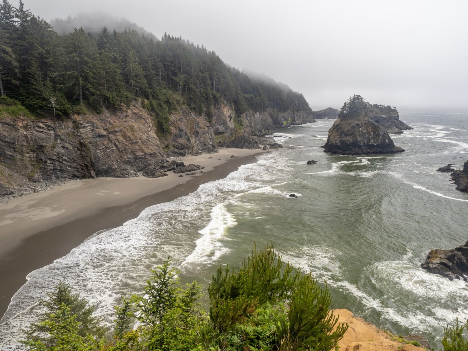
Tuesday (June 8): Yesterday was my last full day in this area. Here are a few last looks at this beautiful part of Oregon.
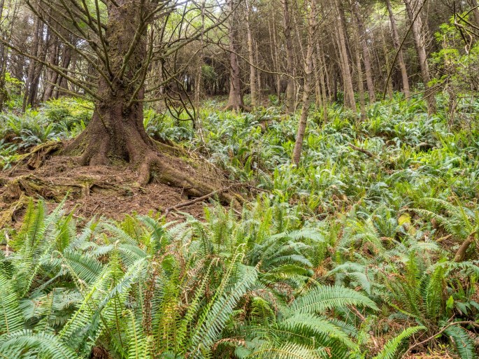
Ferns in woodsExposed rootsCape Arago coastlineSimpson Reef rocksCape Arago south viewCape Arago coastlineCatch a wave and you’re sitting on top of the worldCape Arago LighthouseCape Arago eveningCape Arago at DuskSunset Bay BeachSunset Bay SP WavesSunset Bay State Park DuskPhoto by Zack Schnepf
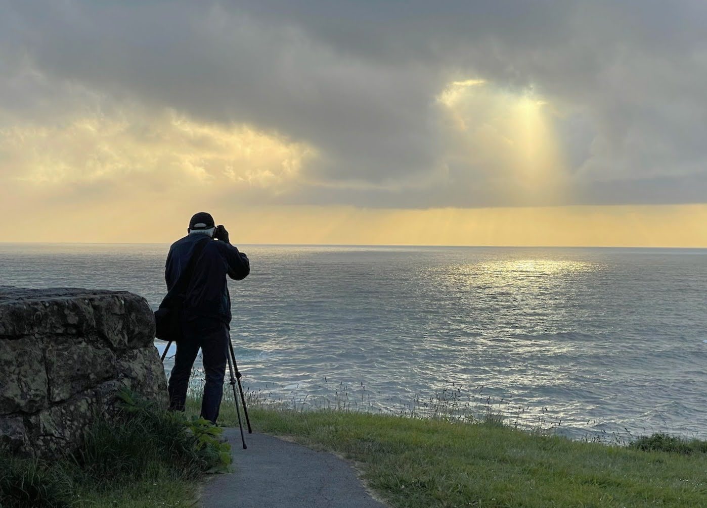
Zack took this shot of me while I was chasing the light.Simpson Reef Sunset
Today I’ll pack up and drive north about two hours to Newport. I’ll remember this visit for a long time and I have many photos to help keep those memories alive!
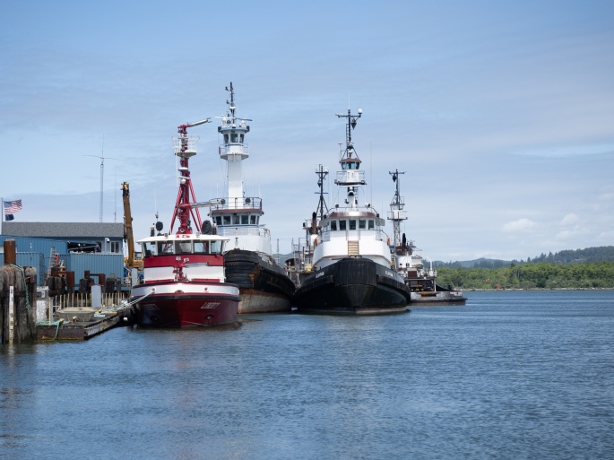
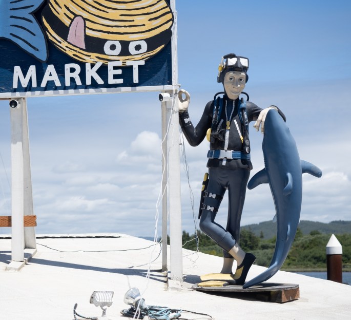
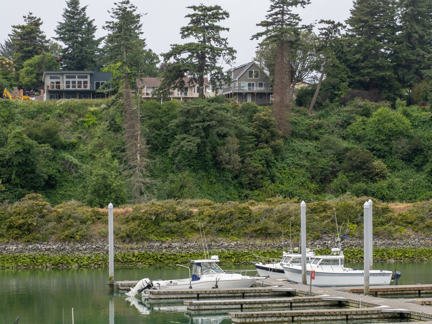
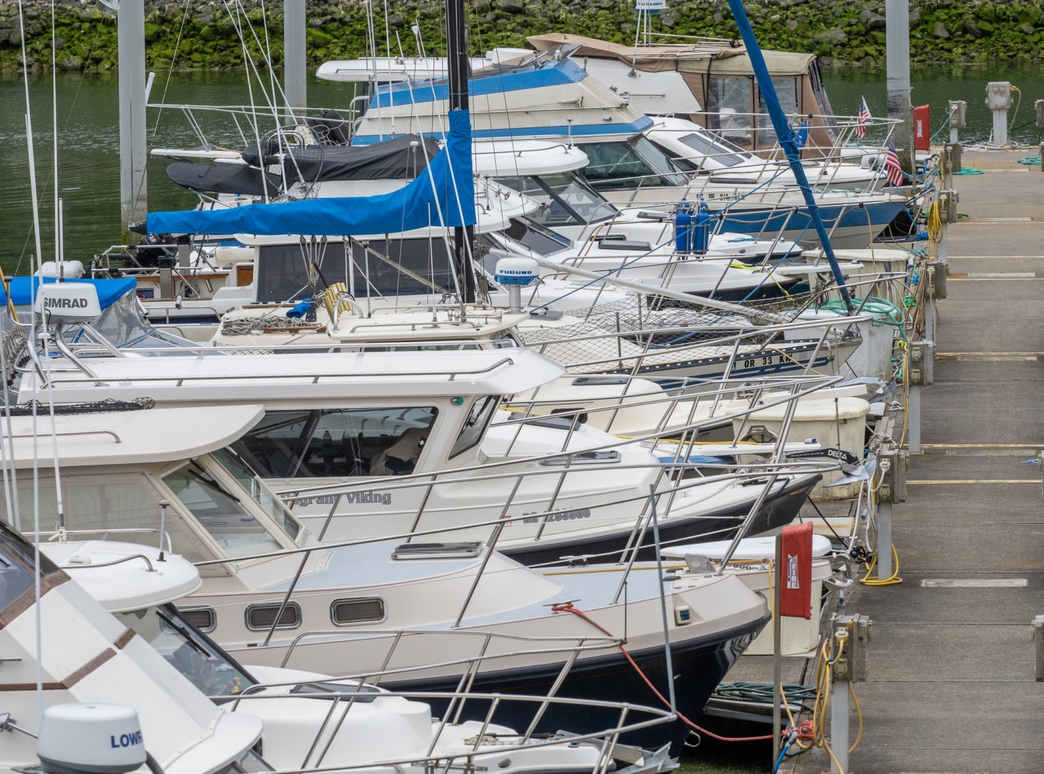
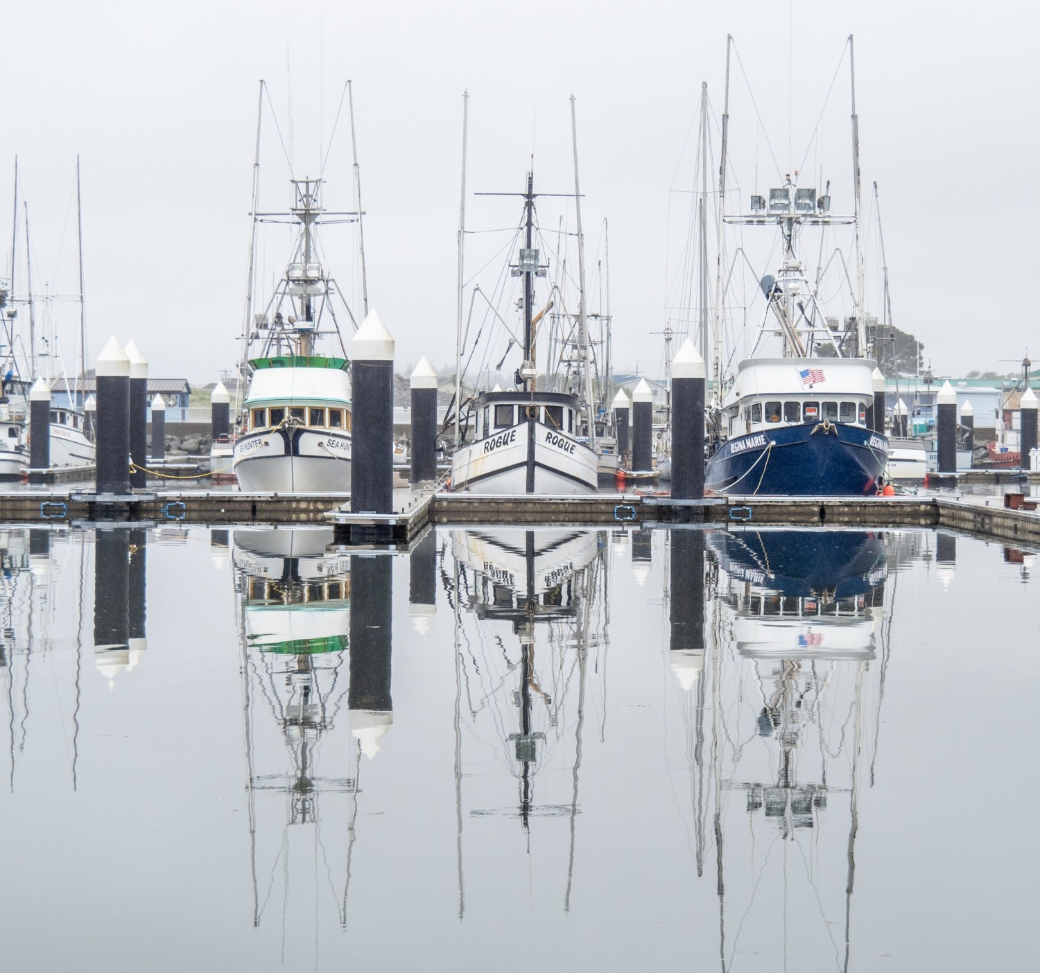
Sunday (June 6): Coos Bay is called “Oregon’s Bay Area.” I walked around town on a quiet Sunday afternoon and checked out the city by the bay.
Coos Bay has a newish short boardwalk on the waterfront, featuring a small harbor and historical displays. The downtown area is busy with Highway 101 as its main traffic corridor. It was hard to get a sense of the vibe since many places are closed on Sundays. It was clear that the city is interested in displaying culture and art.
Coos Bay WaterfrontCoos Bay HarborQuiet downtown street on a Sunday afternoonCaught a big one!Tsunami Humor
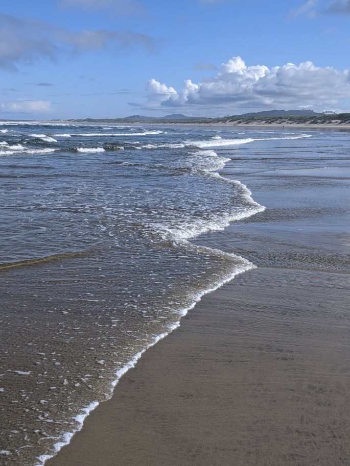
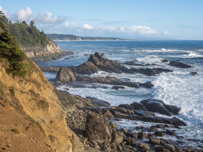
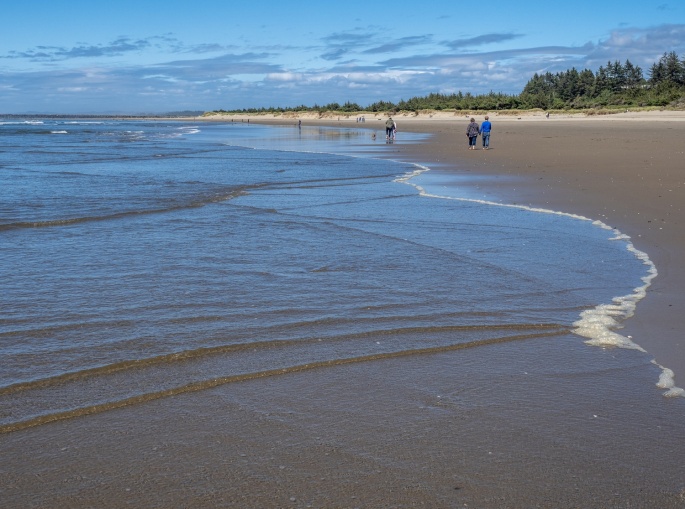
Back out near the state parks, I discovered a Bureau of Land Management park and beach area called Bastendorff Beach. A small campground is situated near the entrance road; continuing on the road leads down to the beach. It was windy and chilly, but the long beach beckoned me, so I ventured out for a walk.
This is a popular beach, about a mile long with flat, reflective sand. A large rock seawall indicates the north boundary of the beach. It is dog-friendly with plenty of friendly dogs and owners. I was able to get in some “dog time” with occasional wet canine visits as I walked.
Long walk on the beach
As I strolled along the water’s edge, I was lost in time. The rhythmic sound of rolling waves has a way of quieting my mind and before I knew it I had reached the rock seawall. After climbing up a few large boulders, I was able to witness the activity of waves on the opposite side.
Coos Bay, looking over the seawallWave Action
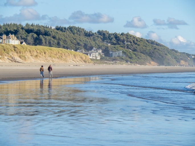
The walk back was directly into the headwind, so it was a brisk walk. I picked up a few seashells (on the seashore) along the way as I returned to my car.
Bastendorff Beach – the Cape Arago lighthouse is in the distance
The weather forecast calls for clouds and a chance of rain in the evening, so it sounds like a perfect chance for sunset photos. We’ll see!
Saturday (June 5) After a delicious farewell breakfast with Claudia and Bruce (yumm!) I left Harris Beach SP around noon and turned north on HWY101. I had about 110 miles of travel ahead of me and I planned to make a few scenic stops along the way.
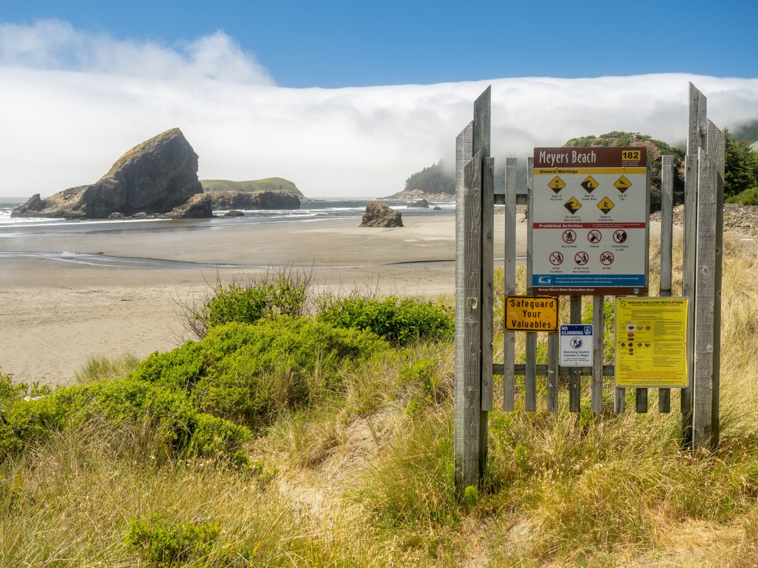
Highway 101 follows the coastline with occasional stunning views of the ocean. As I drove past Meyers Beach I was reminded of the sights and sounds of walking on that beach a few days earlier.
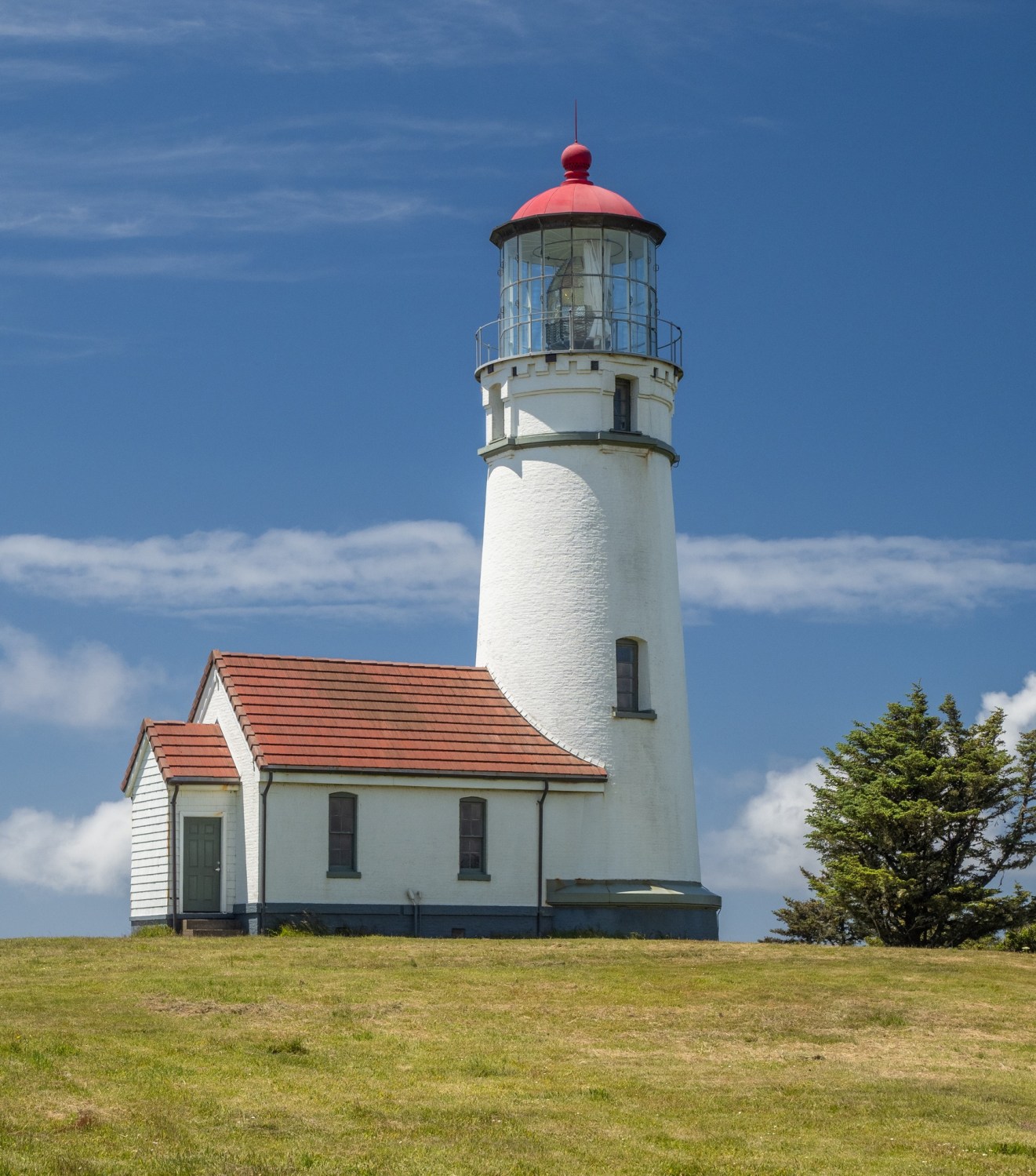
My first scenic stop was Cape Blanco State Park. Just 9 miles north of Fort Orford, Cape Blanco SP includes a campground in the trees on a bluff and a lighthouse. The road out to the park area is a typical country road with occasional repair spots and some gravel stretches. It was windy on the bluffs overlooking the ocean. The lighthouse is a short walk from the parking lot. Tours were not available on this day, but the exterior was easily accessible.
Back on the road, I continued to Bandon, where I planned to eat some lunch/dinner (linner?). Bandon has a cute “old town” area along the waterfront. I walked into the Fish & Chips Chowder House and ordered….fish & chips and chowder. (It was tasty, but Brookings’ Hungry Clam Cafe still holds the title of “best chowder” for me. I’m sure I’ll continue to verify that on this trip). The meal was substantial, so I packed up the uneaten half for later.
Bandon Waterfront and Harbor
I checked out Google maps satellite view to be sure I could drive out to the local lighthouse and be able to turn around with my trailer. The lighthouse is located on a point, past the Bullards Beach State Park campground. The beach area was active with beachcombers, kite-flyers and families. And yes, there was room to turn around with my trailer.
The Coquille River Lighthouse near Bandon
After some rock-hopping around the lighthouse, I continued to Sunset Bay SP near Coos Bay, Oregon and checked into my campsite. Sunset Bay SP campground is a little rustic, the restroom and shower facilities are dated yet functional. The campground is well appointed with trees and has great access to the coastline. My campsite is a bit funky with the firepit and picnic table situated on the same side as the hookups.
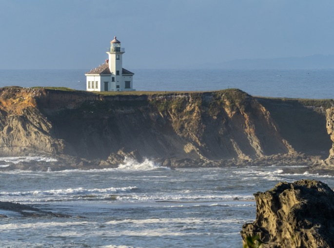
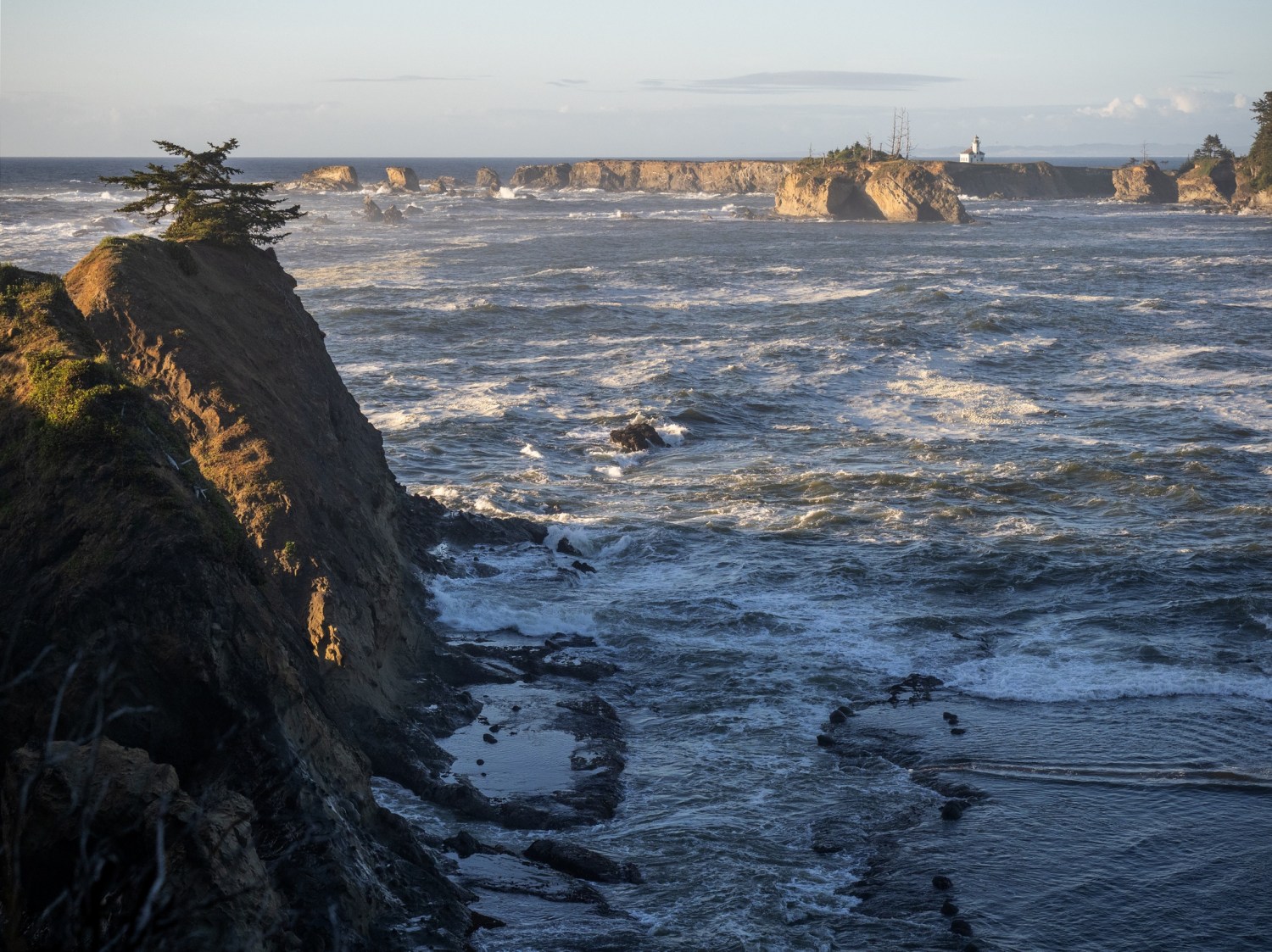
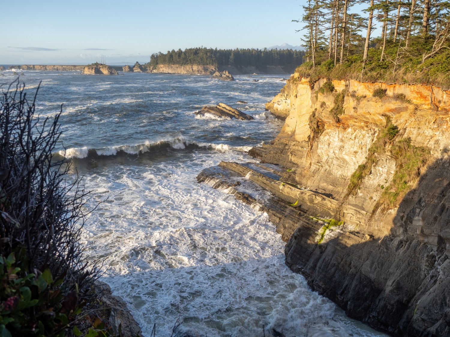
As sunset was approaching I drove over to the lighthouse lookout spot. This makes three lighthouses in one day. The lighthouse here is located in the distance on Gregory Point, so the best views of it are from a few shoreline viewpoints. With a long lens + 2x teleconverter, I was able to get a pretty good photo of the lighthouse.
Cape Arago Lighthouse
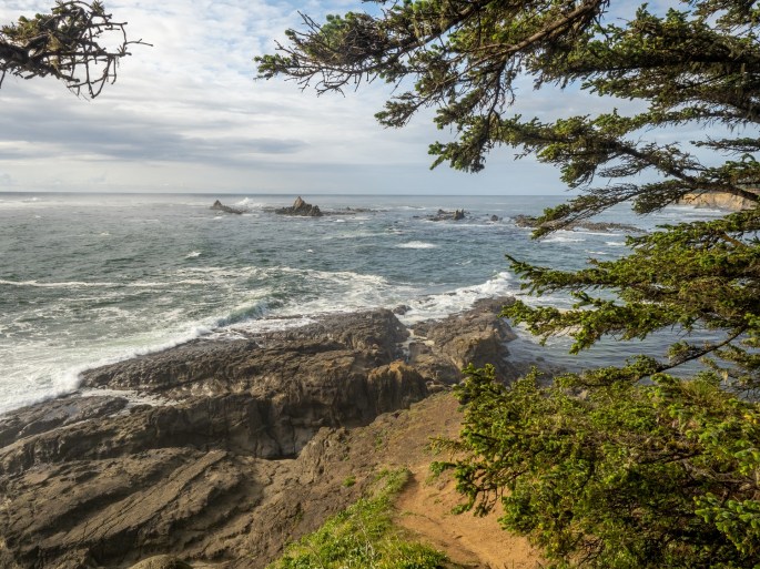
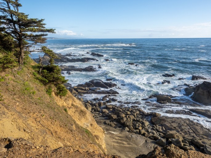
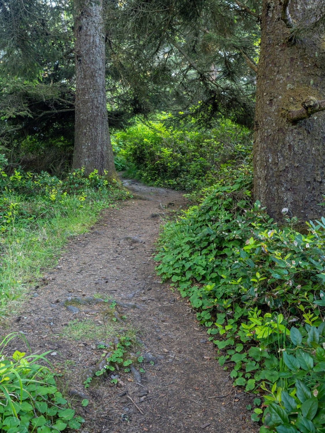
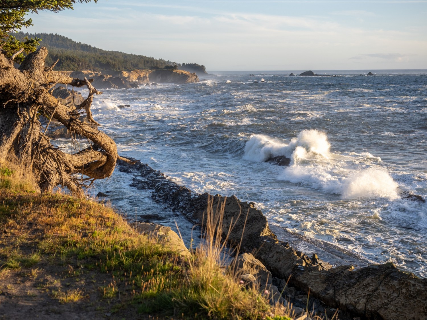
I followed a trail along the edge of bluff and learned that it would occasionally open up for another great view of the pounding surf. In many spots, I was startled by the sheer drop-off with no railing. That made the view even more exciting!
Inspired by the great lighting and views, I continued on. This turned into an accidental long hike, since the trail just kept going. Every opening revealed another stunning view of the late (and later) evening oceanfront.
At some point I began to wonder if the trail would loop around to the road or if I’d have to turn around and follow it back. I followed my intuition and continued forward until I found the main road, and eventually my car.
Note to self: check out a trail map before walking off into the woods!
I returned to the campground and happily settled into my trailer for the night
On my last night in Brookings, the sunset was promising to look very colorful. I grabbed my camera and tripod and walked toward the trail that leads to the top of the bluff overlooking the beach. (See previous post for more about this bluff)
As I had hoped, the view was clear and the sky was dramatic as the sun set into a distant fog bank.
A couple watches the wave action on Harris Beach.
At last, the grand sunset!
I enjoyed my five nights at the Harris Beach State Park in Brookings, Oregon. The campground was very comfortable and the time spent on the beaches in the area was rejuvenating. Today, I’ll travel to Coos Bay for the next leg of my journey.
Wednesday (June 3): Claudia, Bruce and I checked out a few interesting places in and around Brookings today. We started at the harbor at the entrance to the Chetco River.
We peeked into a chocolate shop and asked for a recommendation for a place for lunch. We learned the “Hungry Clam” nextdoor was a local favorite.
Before eating lunch we walked around Azalea Park, just across the bridge from the harbor.
Tai chi at the amphitheater at Azalea Park
The chapel at Azalea Park
We had lunch at the Hungry Clam and it was terrific. We then drove east along the Chetco River to check out Alfred Loeb State Park and campground. We took a short hike in the area.
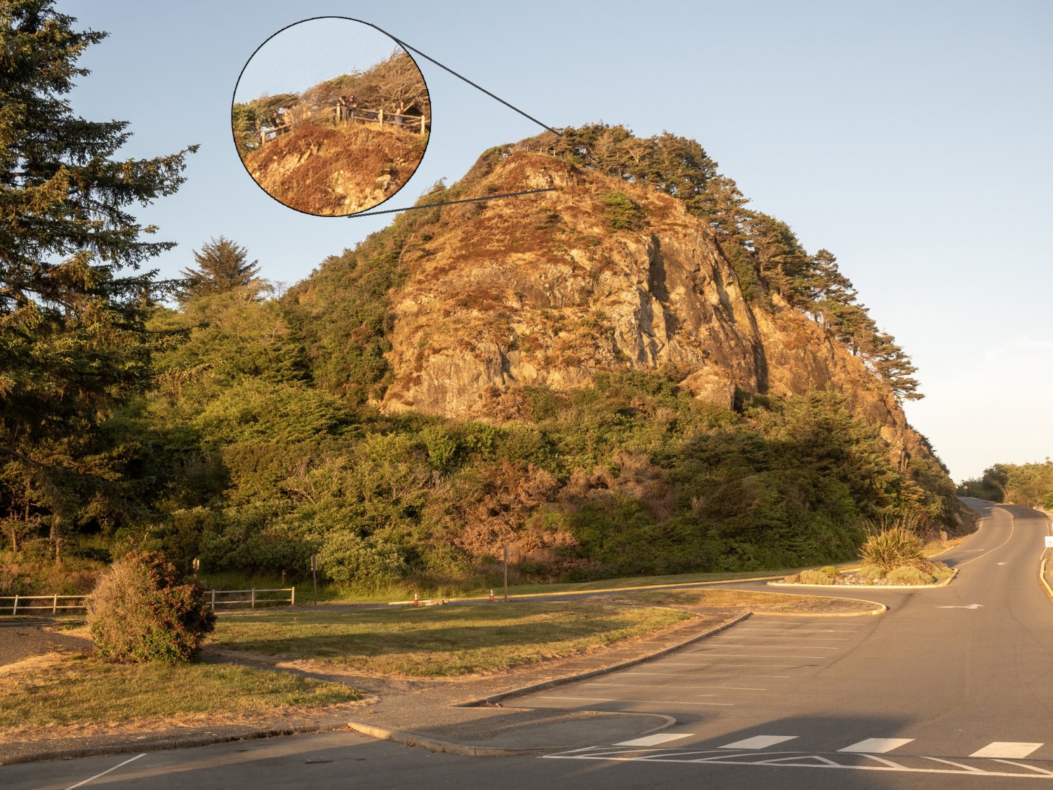
While we were down at the beach a couple of nights earlier, we noticed this large bluff behind the parking lot. At the top, we could barely see a few people at a viewing spot. We decided to check out that viewpoint.
The view from the top of the bluff was excellent!
I made a mental note to return to this spot for a chance to take photos of a sunset.
Harris Beach State Park campground is nestled in the trees alongside Highway 101
Monday was Memorial Day and a travel day for me. I left Redwood Meadows RV park and headed for Brookings, Oregon. It was a short drive of about 30 miles. I’m staying at Harris Beach State Park campground, just north of Brookings. I’ll be here five nights.
Harris Beach
Oregon State Park campgrounds are excellent resources! The campgrounds are beautiful with great amenities (restrooms and token-less hot showers!). Claudia and Bruce are staying here during the same time, so we are having fun exploring the area.
Approaching sunset on Harris Beach
Harris Beach is a great introduction to the Oregon coastline. A nice flat beach with many dramatic rock outcroppings, framed with frequent foggy edges. On the first night here, the sunset was colorful and ever-changing. Plenty of people gathered along the bluffs and on the beach to watch the display. It reminded me of the shared experience of watching a fireworks display.
On Wednesday (June 2), we drove north about 30 miles along the coastline to Gold Beach. Along the way we noted the various pullouts that we would explore on the return drive. It was pretty foggy on the drive, with occasional clear spots. It turned out to be the perfect weather combination for photographs!
Oregon bridges are an artform in their own right. Gold Beach.
One of the best locations was Meyers Beach, a long stretch of rock studded beachfront, with three different turnouts for cars to park. We walked the length of the beach and were treated to billowing fog, gentle waves, blue skies and great reflections. A long walk on the beach does a body good!
One of the paths down to Meyers Beach.The water was cold and refreshing!
Another great photo opportunity was Arch Rock Viewpoint. A short trail around the bluff provided wonderful views of the coastline and Arch Rock.
The trail around Arch Rock Viewpoint gave many great views.Arch Rock
It is difficult to cull down the photos to a reasonable number for sharing. As light and fog conditions continually change, new photo interpretations emerge. I am feeling the immersion of this landscape; it is refreshing, cleansing and uplifting.
Sunday (May 30) My last 24 hours at Jedediah Smith Redwoods Park were bittersweet. I knew I would miss the beauty of the campground, but the Memorial Day Weekend campers had begun to descend upon the park and it was getting very busy.
I awoke to sunny skies on Friday and decided to suck up as much solar power as possible. I spent the early afternoon chasing sunlight with my solar panels. I have a 120W suitcase-style panel that weighs 25 lbs. I also have a 100W thin flexible panel that weighs 4 lbs. I made some coupler cables so I could connect both panels to one charge controller, giving me the most amperage possible.
The forests here are magnificent, but they don’t allow for much useful solar charging time. I was able to give my battery a decent charge by continuously watching the little pockets of sunshine move through my campsite and position the solar panels accordingly. This recharge was enough to keep my refrigerator running another day, so I knew I was in good shape.
Redwood Meadows RV Park
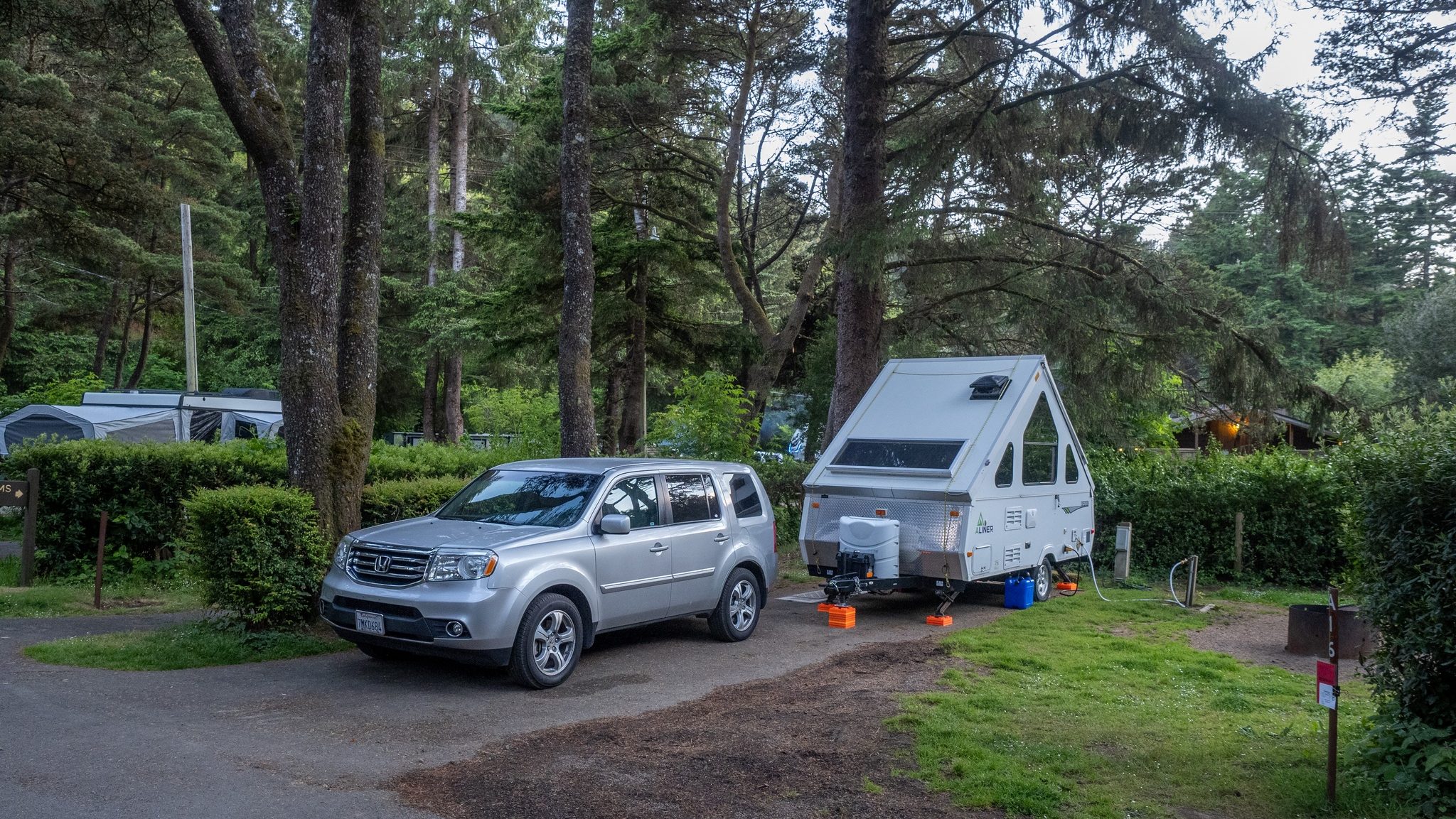
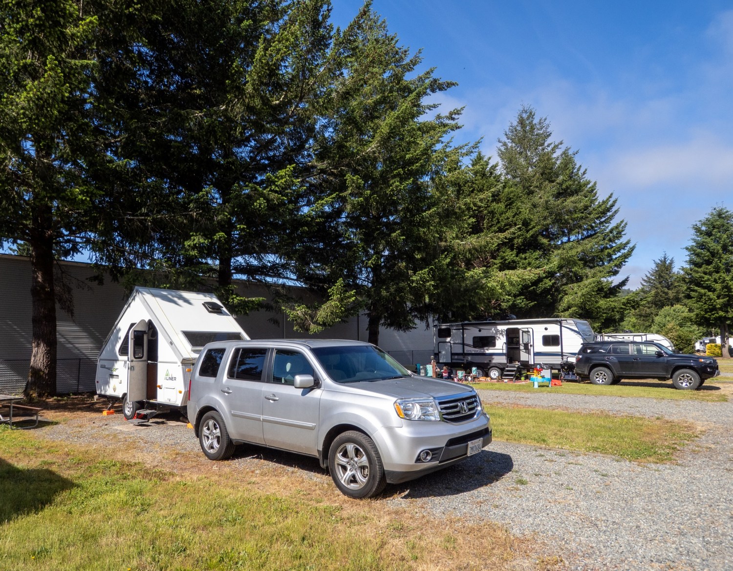
On Saturday I packed up and drove 0.7 miles to Redwood Meadows RV Park, located on HWY199 in Hiouchi. (Don’t call it “hootchie”, just sayin’) This RV park initially looked a little run down, but once I settled in to my spot I started to like it a lot more. Based on the infrastructure, it looks like an older RV park. It has large grass areas between the rows of spaces and plenty of trees. I was located in the row closest to the highway (right behind the gas station/deli), yet the road noise was subtle. I think the building helped block the sound. There are also some tent spaces as well as yurts, tiny houses and canvas cabins. The grounds are well kempt. Verizon does not know about this little hamlet and the on-site wireless network is weak and often drops connection. No problem, it’s a good time to stay off the grid and enjoy the surroundings.
Beautiful view in the morning
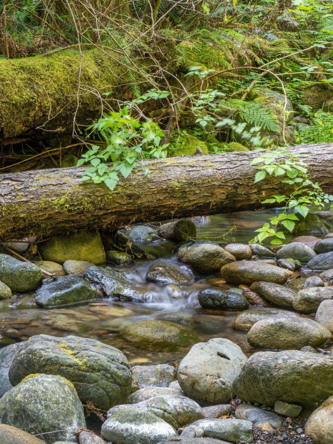
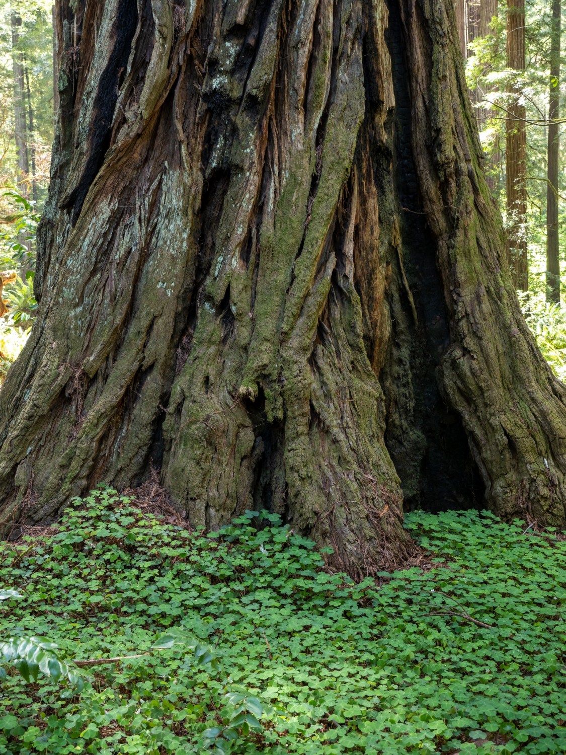
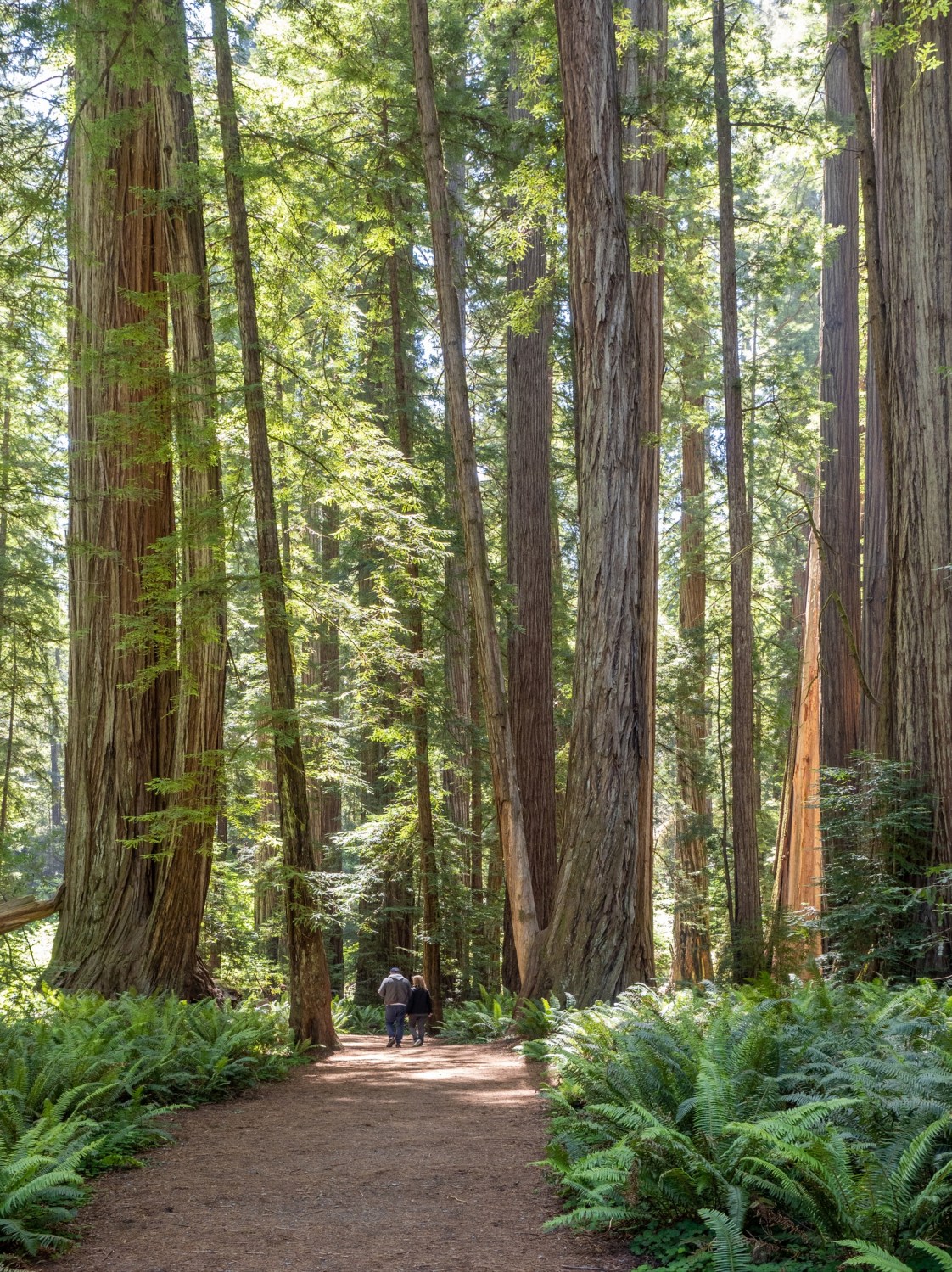
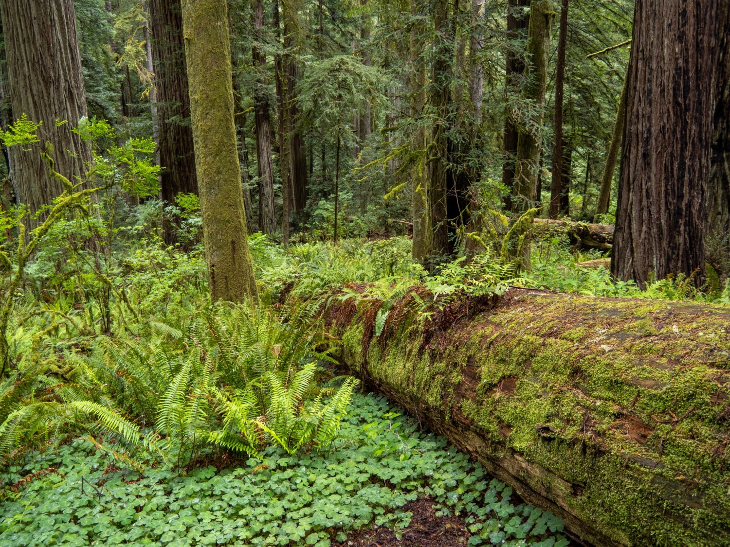
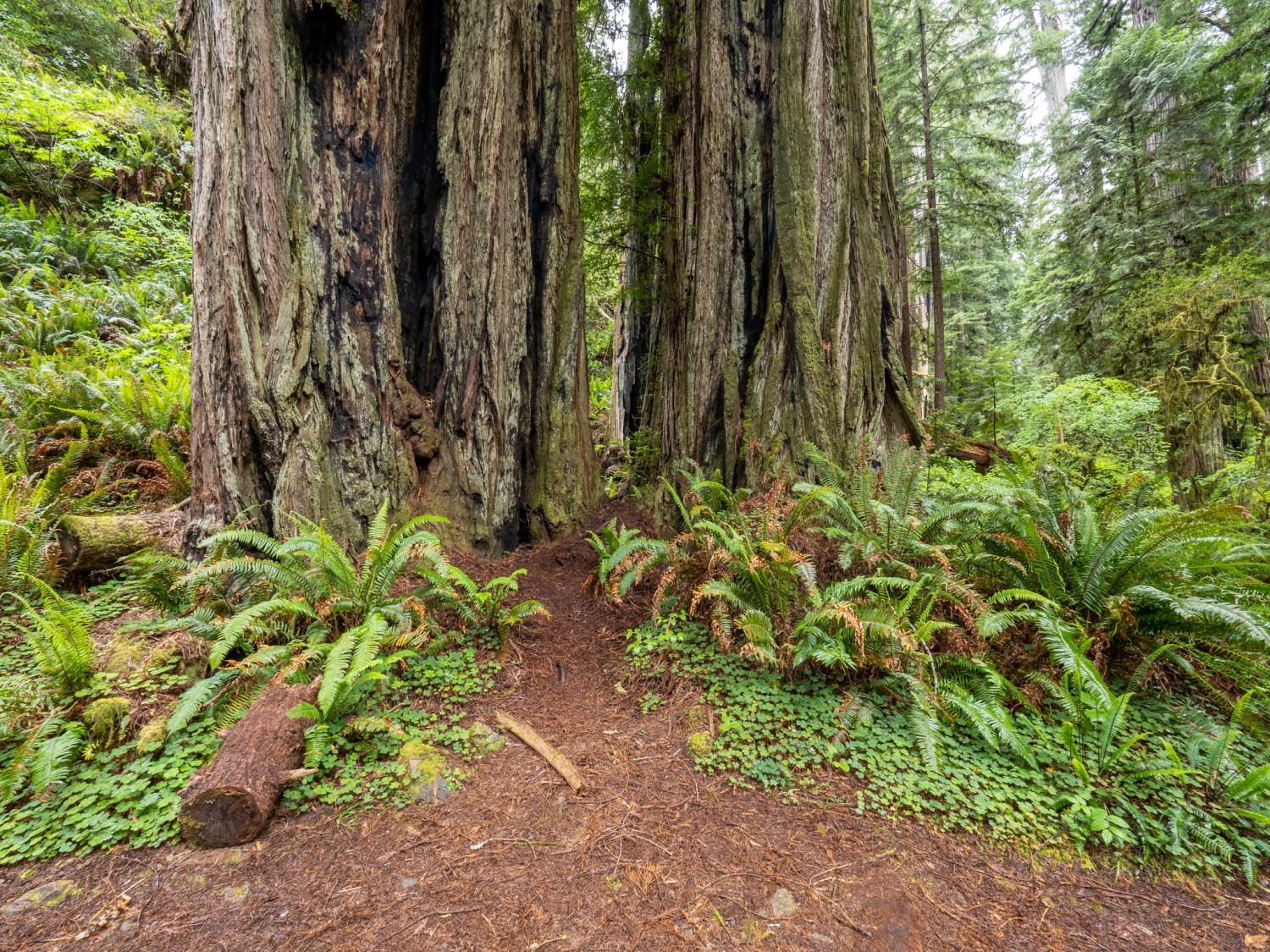
Sunday was another sunny day. I drove about 3 miles over to the Stout Grove trailhead across the Smith River from Hiouchi. I had heard about Stout Grove from a couple of places and decided to check it out for photos. The trees are described as “not the largest trees” but they were impressive enough. The walking loop is about 1/2 mile with several little side trails. The nearby access, ample parking, restrooms and easy hike make this a very popular spot. Lots of families with small children were able to amble about through the tall trees and fallen logs. I spent about two hours in this area and would really love to come back on a drizzly day. I did my best to find photo opportunities that didn’t have much sunlight, instead looking for the even light of full shade. I used my tripod exclusively; I like the way the tripod slows me down and take a little longer to compose my photos.
The Smith River Recreation AreaI was mesmerized by this sceneOne last look up before leaving
Today will be my last day in California. Tomorrow I’ll drive about 20 miles to Brookings, Oregon and begin the coastal version of the trip. My friends Claudia and Bruce are also camping at Brookings, so it will be fun to spend time with them at a beach campground
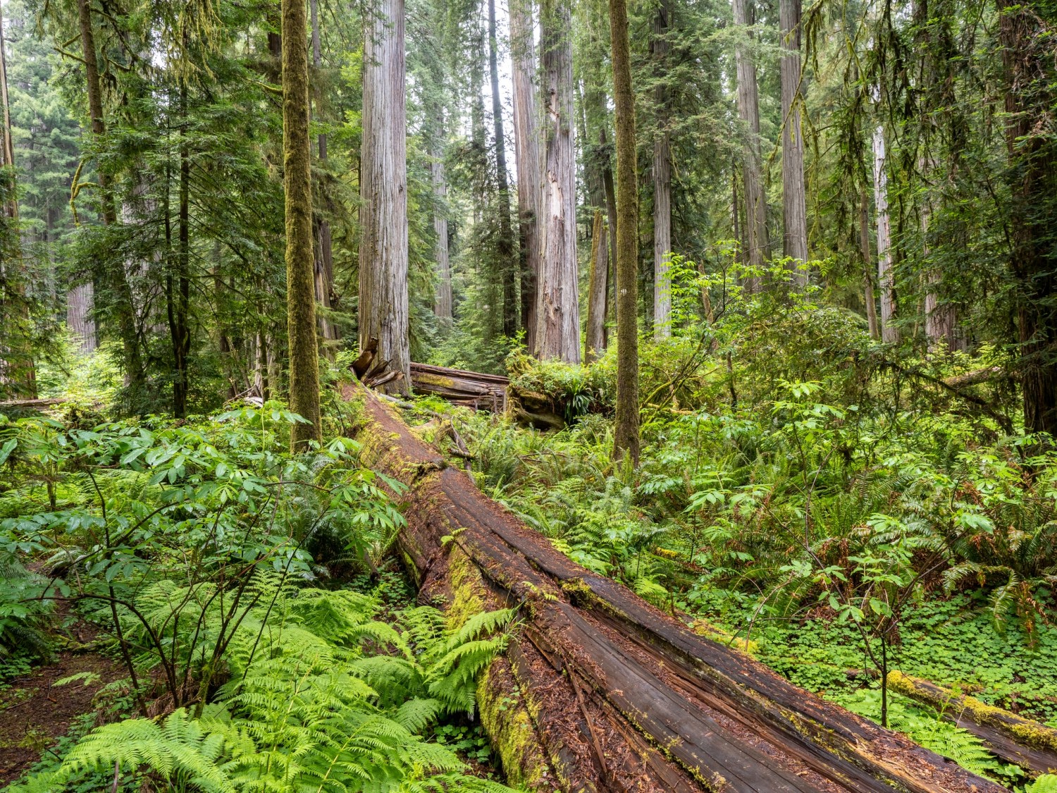
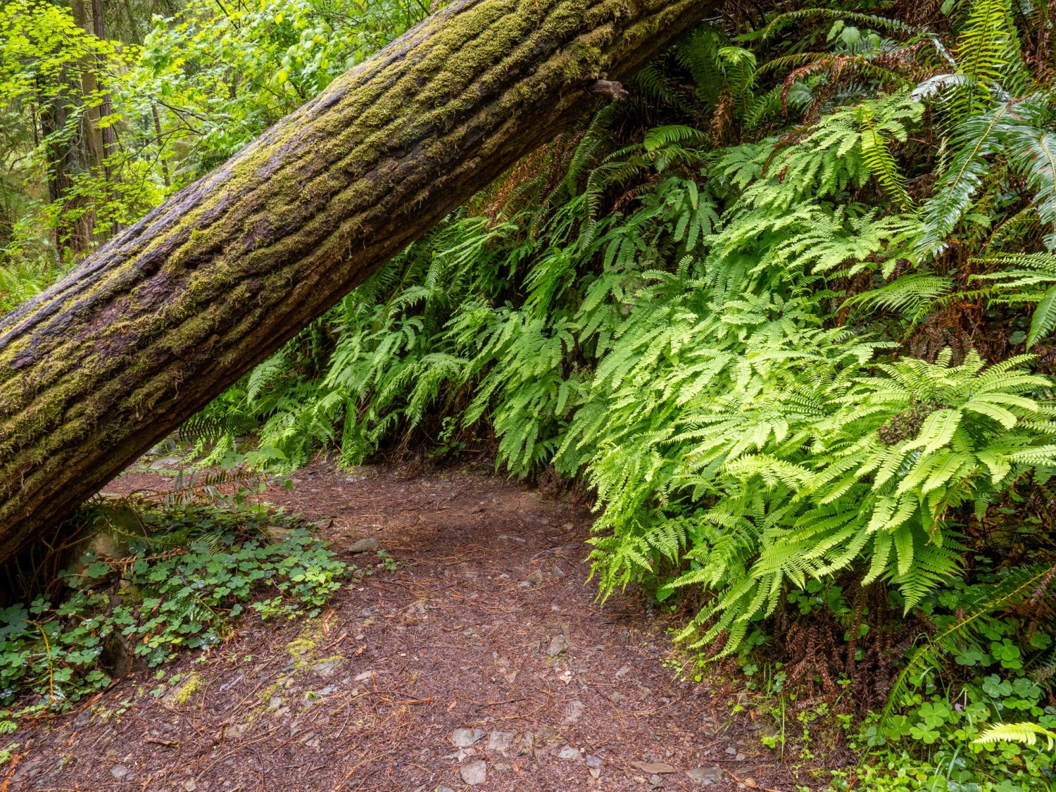
Here are some photos taken while visiting the Crescent City Area. Many of the redwood forest photos were taken within a couple hundred feet from the main highway. Just a short distance can feel like another world.
The Crescent City lighthouse stands out in the mist.Reflections in the harborThe Jedediah Smith Redwood Park on a drizzly day.The fog and mist moved in quickly.Along a trail – I’m guessing there are some ashes beneath the sign.I think I might have to Photoshop some airplane wreckage in the background…This might be my newest favorite photo.